Distance to Sacate, California

Calculating Your Route
Just a moment while we process your request...
Location Information
-
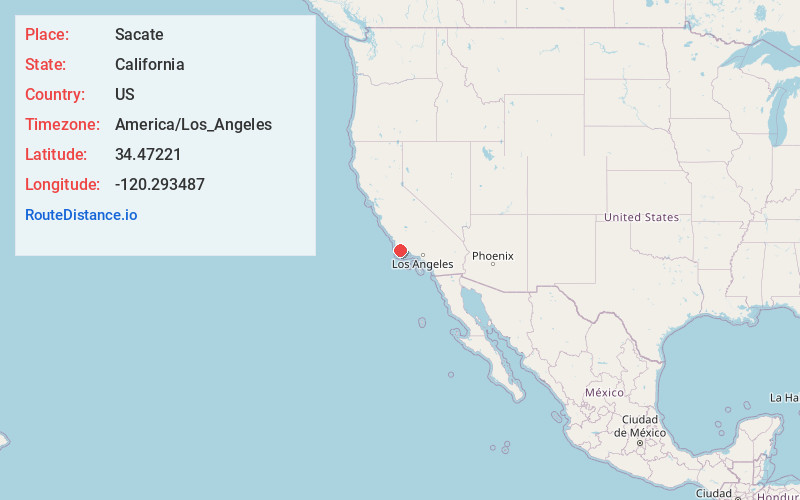
Full AddressSacate, CA 93117
-
Coordinates34.4722104, -120.2934865
-
LocationCalifornia , US
-
TimezoneAmerica/Los_Angeles
-
Current Local Time11:53:09 PM America/Los_AngelesThursday, June 19, 2025
-
Page Views0
Nearby Places
Found 10 places within 50 miles

Drake
0.6 mi
1.0 km
Drake, CA 93117
Get directions
San Augustine
3.8 mi
6.1 km
San Augustine, CA 93117
Get directions

Las Cruces
4.4 mi
7.1 km
Las Cruces, CA 93436
Get directions
Lento
7.6 mi
12.2 km
Lento, CA 93117
Get directions

Tajiguas
10.5 mi
16.9 km
Tajiguas, CA 93117
Get directions

Santa Rita Hills
11.3 mi
18.2 km
Santa Rita Hills, California 93436
Get directions

Buellton
11.3 mi
18.2 km
Buellton, CA 93427
Get directions

Solvang
12.3 mi
19.8 km
Solvang, CA 93463
Get directions

Lompoc
14.9 mi
24.0 km
Lompoc, CA
Get directions

Ballard
15.1 mi
24.3 km
Ballard, CA
Get directions
Location Links
Local Weather
Weather Information
Coming soon!
Location Map
Static map view of Sacate, California
Browse Places by Distance
Places within specific distances from Sacate
Short Distances
Long Distances
Click any distance to see all places within that range from Sacate. Distances shown in miles (1 mile ≈ 1.61 kilometers).