Distance to Saddle Butte, Montana

Calculating Your Route
Just a moment while we process your request...
Location Information
-
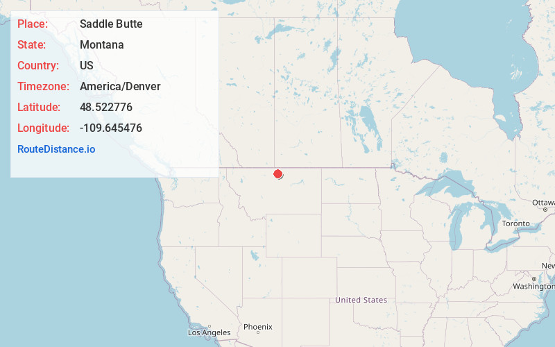
Full AddressSaddle Butte, MT 59501
-
Coordinates48.5227762, -109.6454759
-
LocationSaddle Butte , Montana , US
-
TimezoneAmerica/Denver
-
Current Local Time12:45:33 AM America/DenverFriday, June 20, 2025
-
Page Views0
About Saddle Butte
Saddle Butte is a census-designated place in Hill County, Montana, United States. The population was 128 at the 2010 census.


Nearby Places
Found 10 places within 50 miles

Havre
2.6 mi
4.2 km
Havre, MT 59501
Get directions

Havre North
2.9 mi
4.7 km
Havre North, MT 59501
Get directions

Beaver Creek
7.1 mi
11.4 km
Beaver Creek, MT 59501
Get directions

Azure
16.9 mi
27.2 km
Azure, MT 59521
Get directions
Sangrey
18.2 mi
29.3 km
Sangrey, MT 59521
Get directions
Boneau
18.9 mi
30.4 km
Boneau, MT 59521
Get directions

Parker School
19.3 mi
31.1 km
Parker School, MT 59521
Get directions

Chinook
19.5 mi
31.4 km
Chinook, MT 59523
Get directions
St Pierre
20.8 mi
33.5 km
St Pierre, MT 59521
Get directions

Big Sandy
32.0 mi
51.5 km
Big Sandy, MT 59520
Get directions
Location Links
Local Weather
Weather Information
Coming soon!
Location Map
Static map view of Saddle Butte, Montana
Browse Places by Distance
Places within specific distances from Saddle Butte
Short Distances
Long Distances
Click any distance to see all places within that range from Saddle Butte. Distances shown in miles (1 mile ≈ 1.61 kilometers).