Distance to Sage, Arkansas

Calculating Your Route
Just a moment while we process your request...
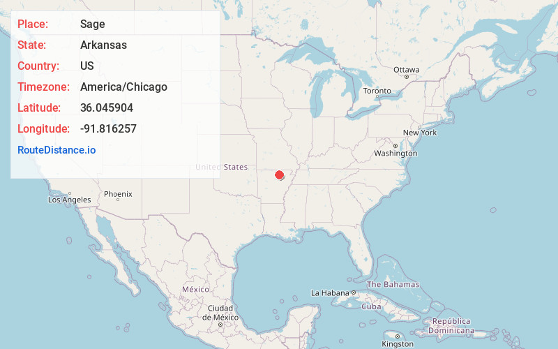
Location Information
-
Full AddressSage, AR 72556
-
Coordinates36.0459038, -91.8162573
-
LocationSage , Arkansas , US
-
TimezoneAmerica/Chicago
-
Current Local Time11:29:17 AM America/ChicagoThursday, June 19, 2025
-
Page Views0
About Sage
Sage is an unincorporated community in Izard County, Arkansas, United States. Sage is 5 miles east-southeast of Melbourne. Sage has a post office with ZIP code 72573.
A strong EF2 tornado struck the town on March 6, 2022, causing major damage to several structures and injuring six people.
Nearby Places
Found 10 places within 50 miles

Stella
2.6 mi
4.2 km
Stella, Mt Pleasant, AR 72556
Get directions
Lacrosse
3.4 mi
5.5 km
Lacrosse, AR 72584
Get directions
Gid
5.1 mi
8.2 km
Gid, AR 72540
Get directions

Melbourne
5.2 mi
8.4 km
Melbourne, AR 72556
Get directions
Larkin
5.4 mi
8.7 km
Larkin, AR 72584
Get directions
Lunenburg
5.9 mi
9.5 km
Lunenburg, AR 72540
Get directions
Belview
6.5 mi
10.5 km
Belview, AR 72556
Get directions

Mt Pleasant
6.7 mi
10.8 km
Mt Pleasant, AR
Get directions
Violet Hill
7.6 mi
12.2 km
Violet Hill, AR
Get directions
Newburg
8.9 mi
14.3 km
Newburg, AR 72556
Get directions
Location Links
Local Weather
Weather Information
Coming soon!
Location Map
Static map view of Sage, Arkansas
Browse Places by Distance
Places within specific distances from Sage
Short Distances
Long Distances
Click any distance to see all places within that range from Sage. Distances shown in miles (1 mile ≈ 1.61 kilometers).