Distance to Saginaw, Arkansas

Calculating Your Route
Just a moment while we process your request...
Location Information
-
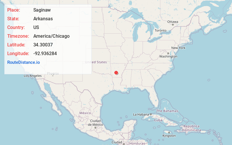
Full AddressSaginaw, AR 71941
-
Coordinates34.3003698, -92.9362837
-
LocationSaginaw , Arkansas , US
-
TimezoneAmerica/Chicago
-
Current Local Time12:29:13 PM America/ChicagoThursday, June 19, 2025
-
Page Views0
About Saginaw
Saginaw is an unincorporated community in Hot Spring County, Arkansas, United States.
The community is located on the Old Military Road three-quarters of a mile east of Interstate 30, approximately one mile west of the Ouachita River and three miles southwest of Social Hill.
Nearby Places
Found 10 places within 50 miles

Social Hill
2.6 mi
4.2 km
Social Hill, AR 72104
Get directions

Donaldson
4.4 mi
7.1 km
Donaldson, AR 71941
Get directions

Friendship
6.5 mi
10.5 km
Friendship, AR 71923
Get directions

Abco
7.0 mi
11.3 km
Abco, AR 72104
Get directions
De Roche
7.1 mi
11.4 km
De Roche, AR 71929
Get directions

Malvern
8.3 mi
13.4 km
Malvern, AR 72104
Get directions
Caney
8.5 mi
13.7 km
Caney, AR 71929
Get directions
Harp
8.6 mi
13.8 km
Harp, AR 72104
Get directions
Red Oak
9.6 mi
15.4 km
Red Oak, AR 71913
Get directions

Diamondhead
9.6 mi
15.4 km
Diamondhead, AR 71913
Get directions
Location Links
Local Weather
Weather Information
Coming soon!
Location Map
Static map view of Saginaw, Arkansas
Browse Places by Distance
Places within specific distances from Saginaw
Short Distances
Long Distances
Click any distance to see all places within that range from Saginaw. Distances shown in miles (1 mile ≈ 1.61 kilometers).