Distance to Salol, Minnesota

Calculating Your Route
Just a moment while we process your request...
Location Information
-
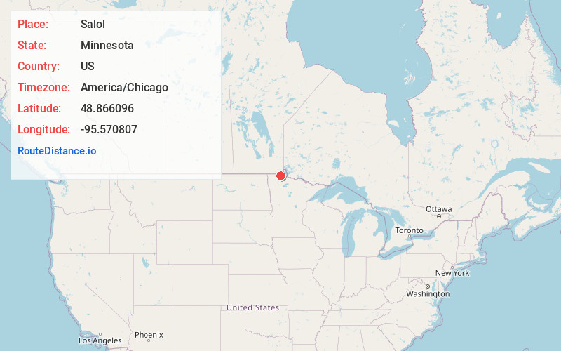
Full AddressSalol, MN 56756
-
Coordinates48.8660961, -95.5708066
-
LocationSalol , Minnesota , US
-
TimezoneAmerica/Chicago
-
Current Local Time1:37:07 AM America/ChicagoTuesday, June 3, 2025
-
Page Views0
About Salol
Salol is an unincorporated community in Enstrom Township, Roseau County, Minnesota, United States.
The community is located between Roseau and Warroad along State Highway 11.
Hay Creek flows through the community. Salol is located within ZIP code 56756.
Nearby Places
Found 10 places within 50 miles

Roseau
8.8 mi
14.2 km
Roseau, MN 56751
Get directions

Warroad
12.0 mi
19.3 km
Warroad, MN 56763
Get directions

Fox
15.0 mi
24.1 km
Fox, MN 56751
Get directions
Pinecreek
18.6 mi
29.9 km
Pinecreek, MN 56751
Get directions
Winner
19.5 mi
31.4 km
Winner, MN 56751
Get directions
Badger
21.0 mi
33.8 km
Badger, MN 56714
Get directions
Roosevelt
22.0 mi
35.4 km
Roosevelt, MN 56673
Get directions
Williams
28.8 mi
46.3 km
Williams, MN 56686
Get directions

Greenbush
30.1 mi
48.4 km
Greenbush, MN 56726
Get directions
Gatzke
32.0 mi
51.5 km
Gatzke, MN 56724
Get directions
Location Links
Local Weather
Weather Information
Coming soon!
Location Map
Static map view of Salol, Minnesota
Browse Places by Distance
Places within specific distances from Salol
Short Distances
Long Distances
Click any distance to see all places within that range from Salol. Distances shown in miles (1 mile ≈ 1.61 kilometers).