Distance to Salt Gap, Texas

Calculating Your Route
Just a moment while we process your request...
Location Information
-
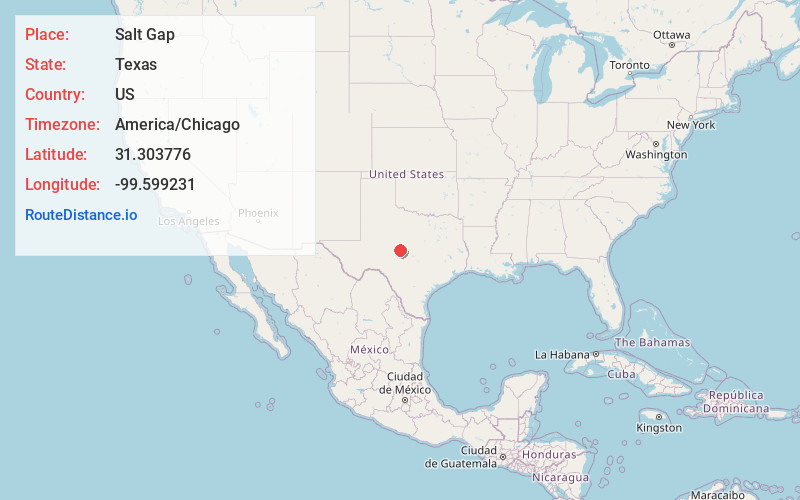
Full AddressSalt Gap, TX 76852
-
Coordinates31.3037756, -99.5992306
-
LocationTexas , US
-
TimezoneAmerica/Chicago
-
Current Local Time1:55:23 PM America/ChicagoFriday, May 23, 2025
-
Page Views0
About Salt Gap
Salt Gap is an unincorporated community in McCulloch County, Texas, United States. Salt Gap is located at the junction of FMs 503 and 504 in western McCulloch County. The community had a post office from 1905 to 1913 and from 1924 to after 1930. Its population was 25 as of 2000.
Nearby Places
Found 10 places within 50 miles

Pear Valley
6.2 mi
10.0 km
Pear Valley, TX 76852
Get directions

Melvin
7.6 mi
12.2 km
Melvin, TX 76858
Get directions
Lohn
11.3 mi
18.2 km
Lohn, TX 76852
Get directions

Millersview
11.8 mi
19.0 km
Millersview, TX
Get directions
Concho County
12.9 mi
20.8 km
Concho County, TX
Get directions
Waldrip
14.1 mi
22.7 km
Waldrip, TX 76873
Get directions

Eden
15.8 mi
25.4 km
Eden, TX 76837
Get directions

Gouldbusk
18.6 mi
29.9 km
Gouldbusk, TX 76845
Get directions
Rockwood
19.1 mi
30.7 km
Rockwood, TX 76873
Get directions

Brady
19.5 mi
31.4 km
Brady, TX 76825
Get directions
Location Links
Local Weather
Weather Information
Coming soon!
Location Map
Static map view of Salt Gap, Texas
Browse Places by Distance
Places within specific distances from Salt Gap
Short Distances
Long Distances
Click any distance to see all places within that range from Salt Gap. Distances shown in miles (1 mile ≈ 1.61 kilometers).