Distance to Salters, South Carolina

Calculating Your Route
Just a moment while we process your request...
Location Information
-
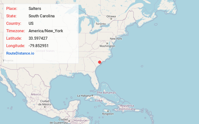
Full AddressSalters, SC 29590
-
Coordinates33.5974273, -79.8529514
-
LocationSalters , South Carolina , US
-
TimezoneAmerica/New_York
-
Current Local Time2:25:46 PM America/New_YorkTuesday, July 1, 2025
-
Page Views0
About Salters
Salters is a small unincorporated community in the southwest central portion of Williamsburg County, South Carolina, United States, in the state's Low Country region. The zip code is 29590 and the area code is 843.

Nearby Places
Found 10 places within 50 miles

Kingstree
5.0 mi
8.0 km
Kingstree, SC 29556
Get directions

Lane
5.4 mi
8.7 km
Lane, SC
Get directions

Greeleyville
7.9 mi
12.7 km
Greeleyville, SC 29056
Get directions
St Stephen
13.9 mi
22.4 km
St Stephen, SC 29479
Get directions
Russellville
15.4 mi
24.8 km
Russellville, SC 29479
Get directions

Andrews
19.6 mi
31.5 km
Andrews, SC 29510
Get directions

Lake City
19.7 mi
31.7 km
Lake City, SC 29560
Get directions

Bonneau Beach
21.0 mi
33.8 km
Bonneau Beach, SC 29431
Get directions

Bonneau
21.1 mi
34.0 km
Bonneau, SC 29431
Get directions
Stuckey
21.7 mi
34.9 km
Stuckey, SC 29554
Get directions
Location Links
Local Weather
Weather Information
Coming soon!
Location Map
Static map view of Salters, South Carolina
Browse Places by Distance
Places within specific distances from Salters
Short Distances
Long Distances
Click any distance to see all places within that range from Salters. Distances shown in miles (1 mile ≈ 1.61 kilometers).