Distance to Sam Black Church, West Virginia

Calculating Your Route
Just a moment while we process your request...
Location Information
-
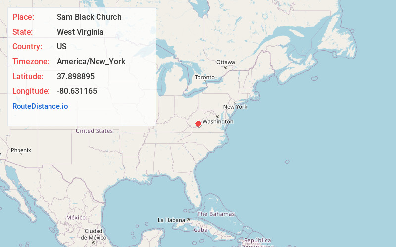
Full AddressSam Black Church, WV 24977
-
Coordinates37.8988948, -80.6311648
-
LocationSam Black Church , West Virginia , US
-
TimezoneAmerica/New_York
-
Current Local Time8:13:27 PM America/New_YorkMonday, June 2, 2025
-
Page Views0
About Sam Black Church
Sam Black Church is an unincorporated community in Greenbrier County, West Virginia, United States. It is located at the intersection of Interstate 64 and U.S. Route 60 on the Midland Trail, a National Scenic Byway.


Nearby Places
Found 10 places within 50 miles

Meadow Bluff
1.2 mi
1.9 km
Meadow Bluff, WV 24931
Get directions
Clintonville
1.8 mi
2.9 km
Clintonville, WV 24931
Get directions
Smoot
2.1 mi
3.4 km
Smoot, WV 24931
Get directions

Crawley
2.7 mi
4.3 km
Crawley, WV 25984
Get directions
Kieffer
3.1 mi
5.0 km
Kieffer, WV 24931
Get directions
Shawvers Crossing
4.0 mi
6.4 km
Shawvers Crossing, WV 25984
Get directions
Hughart
4.4 mi
7.1 km
Hughart, WV 24931
Get directions
Farmdale
4.4 mi
7.1 km
Farmdale, WV 24977
Get directions
Rock Cliff
4.5 mi
7.2 km
Rock Cliff, WV 24931
Get directions
Vale
5.1 mi
8.2 km
Vale, WV 25962
Get directions
Location Links
Local Weather
Weather Information
Coming soon!
Location Map
Static map view of Sam Black Church, West Virginia
Browse Places by Distance
Places within specific distances from Sam Black Church
Short Distances
Long Distances
Click any distance to see all places within that range from Sam Black Church. Distances shown in miles (1 mile ≈ 1.61 kilometers).