Distance to Sampusand, Louisiana

Calculating Your Route
Just a moment while we process your request...
Location Information
-
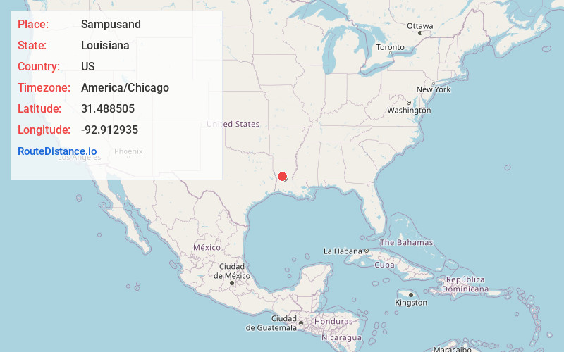
Full AddressSampusand, LA 71447
-
Coordinates31.4885052, -92.9129354
-
LocationLouisiana , US
-
TimezoneAmerica/Chicago
-
Current Local Time10:20:25 PM America/ChicagoThursday, June 19, 2025
-
Page Views0
Nearby Places
Found 10 places within 50 miles

Janie
2.4 mi
3.9 km
Janie, LA 71447
Get directions
Gorum
4.2 mi
6.8 km
Gorum, LA 71447
Get directions
Galbraith Oil Field
7.5 mi
12.1 km
Galbraith Oil Field, Louisiana 71447
Get directions
Melrose
8.3 mi
13.4 km
Melrose, LA 71456
Get directions
Odra
8.8 mi
14.2 km
Odra, LA 71416
Get directions
Marco
8.8 mi
14.2 km
Marco, LA 71447
Get directions
Aloha
10.6 mi
17.1 km
Aloha, LA 71417
Get directions

Colfax
12.3 mi
19.8 km
Colfax, LA 71417
Get directions

Montgomery
12.4 mi
20.0 km
Montgomery, LA 71454
Get directions
Kadesh
14.9 mi
24.0 km
Kadesh, LA 71454
Get directions
Location Links
Local Weather
Weather Information
Coming soon!
Location Map
Static map view of Sampusand, Louisiana
Browse Places by Distance
Places within specific distances from Sampusand
Short Distances
Long Distances
Click any distance to see all places within that range from Sampusand. Distances shown in miles (1 mile ≈ 1.61 kilometers).