Distance to San Carlos, Texas

Calculating Your Route
Just a moment while we process your request...
Location Information
-
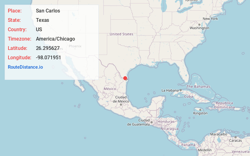
Full AddressSan Carlos, TX 78542
-
Coordinates26.2956267, -98.0719508
-
LocationSan Carlos , Texas , US
-
TimezoneAmerica/Chicago
-
Current Local Time6:11:38 PM America/ChicagoThursday, June 5, 2025
-
Page Views0
About San Carlos
San Carlos is a community and census-designated place in Hidalgo County, Texas. The population was 3,087 at the 2020 United States Census. It is part of the McAllen–Edinburg–Mission Metropolitan Statistical Area.
San Carlos is located northeast of McAllen.
Nearby Places
Found 10 places within 50 miles

Nurillo
3.6 mi
5.8 km
Nurillo, TX
Get directions

Elsa
4.9 mi
7.9 km
Elsa, TX
Get directions

Edinburg
5.7 mi
9.2 km
Edinburg, TX
Get directions

Doolittle
6.0 mi
9.7 km
Doolittle, TX 78542
Get directions
North Alamo
6.4 mi
10.3 km
North Alamo, TX
Get directions
Olivarez
6.8 mi
10.9 km
Olivarez, TX
Get directions
Midway North
8.2 mi
13.2 km
Midway North, TX
Get directions

Alamo
8.4 mi
13.5 km
Alamo, TX
Get directions
Mila Doce
8.5 mi
13.7 km
Mila Doce, TX
Get directions

Donna
8.7 mi
14.0 km
Donna, TX 78537
Get directions
Location Links
Local Weather
Weather Information
Coming soon!
Location Map
Static map view of San Carlos, Texas
Browse Places by Distance
Places within specific distances from San Carlos
Short Distances
Long Distances
Click any distance to see all places within that range from San Carlos. Distances shown in miles (1 mile ≈ 1.61 kilometers).