Distance to San Jacinto County, Texas

Calculating Your Route
Just a moment while we process your request...
Location Information
-
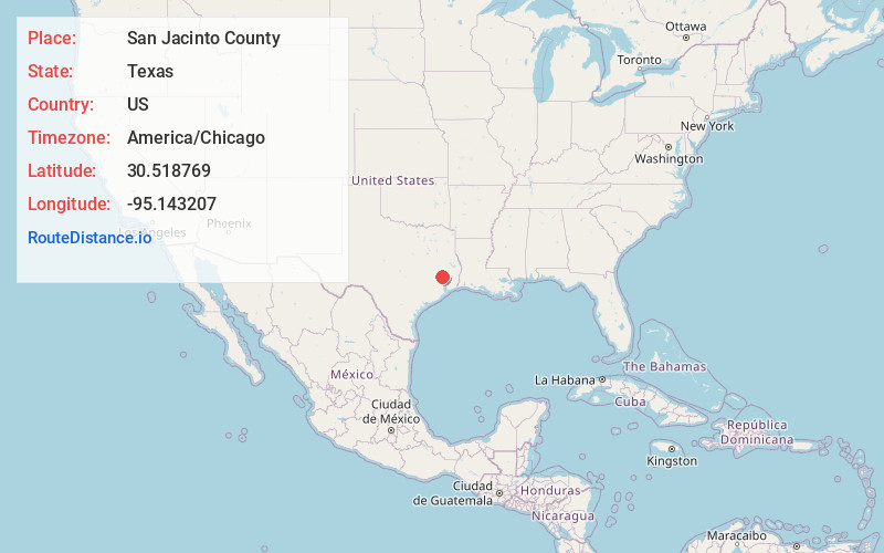
Full AddressSan Jacinto County, TX
-
Coordinates30.5187687, -95.1432068
-
LocationTexas , US
-
TimezoneAmerica/Chicago
-
Current Local Time4:48:52 PM America/ChicagoTuesday, June 3, 2025
-
Page Views0
About San Jacinto County
San Jacinto County is a county in the U.S. state of Texas. As of the 2020 census, its population was 27,402. Its county seat is Coldspring. The county's name comes from the Battle of San Jacinto which secured Texas' independence from Mexico and established a republic in 1836.

Nearby Places
Found 10 places within 50 miles

Coldspring
5.2 mi
8.4 km
Coldspring, TX 77331
Get directions

Shepherd
8.8 mi
14.2 km
Shepherd, TX 77371
Get directions

North Cleveland
11.4 mi
18.3 km
North Cleveland, TX
Get directions
Urbana
11.5 mi
18.5 km
Urbana, TX 77371
Get directions
Stephen Creek
12.2 mi
19.6 km
Stephen Creek, TX 77331
Get directions
Seaman
12.3 mi
19.8 km
Seaman, TX 77327
Get directions

Cleveland
12.7 mi
20.4 km
Cleveland, TX
Get directions

Goodrich
13.1 mi
21.1 km
Goodrich, TX 77335
Get directions
Hightower
13.5 mi
21.7 km
Hightower, TX 77327
Get directions

Security
14.4 mi
23.2 km
Security, TX 77328
Get directions
Location Links
Local Weather
Weather Information
Coming soon!
Location Map
Static map view of San Jacinto County, Texas
Browse Places by Distance
Places within specific distances from San Jacinto County
Short Distances
Long Distances
Click any distance to see all places within that range from San Jacinto County. Distances shown in miles (1 mile ≈ 1.61 kilometers).