Distance to Sand Bluff, Oklahoma

Calculating Your Route
Just a moment while we process your request...
Location Information
-
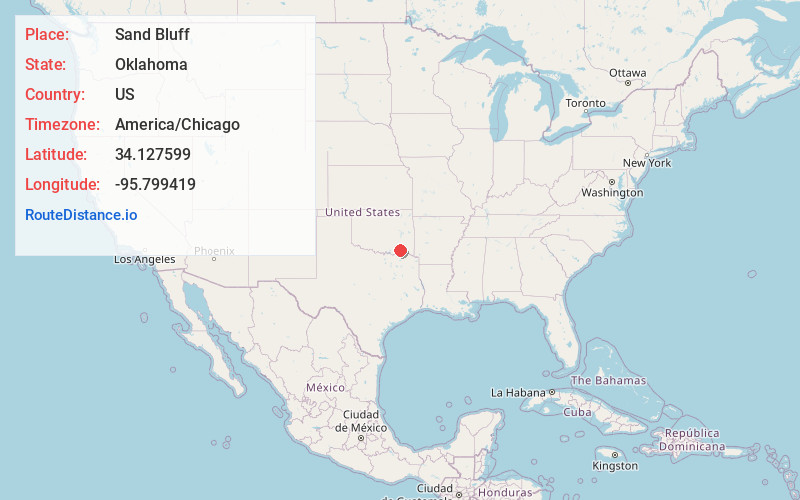
Full AddressSand Bluff, OK 74525
-
Coordinates34.1275992, -95.7994191
-
LocationOklahoma , US
-
TimezoneAmerica/Chicago
-
Current Local Time7:20:50 AM America/ChicagoFriday, June 13, 2025
-
Page Views0
Nearby Places
Found 10 places within 50 miles

Sunkist
5.1 mi
8.2 km
Sunkist, OK 74555
Get directions
Mayhew
6.8 mi
10.9 km
Mayhew, OK 74727
Get directions

Boswell
8.0 mi
12.9 km
Boswell, OK 74727
Get directions
Darwin
8.4 mi
13.5 km
Darwin, OK 74525
Get directions
Soper
8.8 mi
14.2 km
Soper, OK 74759
Get directions
Kent
10.1 mi
16.3 km
Kent, OK 74743
Get directions

Antlers
12.5 mi
20.1 km
Antlers, OK 74523
Get directions
Miller
13.4 mi
21.6 km
Miller, OK 74525
Get directions
Moyers
15.7 mi
25.3 km
Moyers, OK
Get directions
Gay
15.8 mi
25.4 km
Gay, OK 74743
Get directions
Location Links
Local Weather
Weather Information
Coming soon!
Location Map
Static map view of Sand Bluff, Oklahoma
Browse Places by Distance
Places within specific distances from Sand Bluff
Short Distances
Long Distances
Click any distance to see all places within that range from Sand Bluff. Distances shown in miles (1 mile ≈ 1.61 kilometers).