Distance to Sand Pass, Nevada

Calculating Your Route
Just a moment while we process your request...
Location Information
-
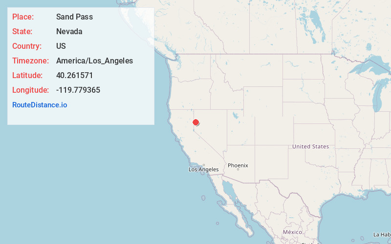
Full AddressSand Pass, NV 89510
-
Coordinates40.2615713, -119.779365
-
LocationSand Pass , Nevada , US
-
TimezoneAmerica/Los_Angeles
-
Current Local Time9:29:45 PM America/Los_AngelesFriday, June 20, 2025
-
Page Views0


Nearby Places
Found 10 places within 50 miles

Zenobia
7.6 mi
12.2 km
Zenobia, NV 89510
Get directions

Herlong
20.4 mi
32.8 km
Herlong, CA 96113
Get directions

Dry Valley Creek
20.9 mi
33.6 km
Dry Valley Creek, Nevada
Get directions
Patton Village
23.0 mi
37.0 km
Patton Village, CA
Get directions

Sutcliffe
23.5 mi
37.8 km
Sutcliffe, NV 89510
Get directions

Doyle
23.6 mi
38.0 km
Doyle, CA 96109
Get directions
Phil
31.0 mi
49.9 km
Phil, NV 89405
Get directions

Empire
31.7 mi
51.0 km
Empire, NV 89405
Get directions

Milford
31.9 mi
51.3 km
Milford, CA 96121
Get directions

Litchfield
33.1 mi
53.3 km
Litchfield, CA
Get directions
Location Links
Local Weather
Weather Information
Coming soon!
Location Map
Static map view of Sand Pass, Nevada
Browse Places by Distance
Places within specific distances from Sand Pass
Short Distances
Long Distances
Click any distance to see all places within that range from Sand Pass. Distances shown in miles (1 mile ≈ 1.61 kilometers).