Distance to Doyle, California

Calculating Your Route
Just a moment while we process your request...
Location Information
-
Full AddressDoyle, CA 96109
-
Coordinates40.0272338, -120.104056
-
LocationDoyle , California , US
-
TimezoneAmerica/Los_Angeles
-
Current Local Time3:20:39 PM America/Los_AngelesSaturday, June 7, 2025
-
Page Views0
About Doyle
Doyle is a rural small town in Lassen County, California. It is located 40 miles southeast of Susanville, at an elevation of 4275 feet. It is located 45 miles northwest of Reno, Nevada. The ZIP Code is 96109. The community is inside area code 530.


Nearby Places
Found 10 places within 50 miles

Herlong
8.2 mi
13.2 km
Herlong, CA 96113
Get directions

Portola
24.5 mi
39.4 km
Portola, CA 96122
Get directions

Cold Springs
24.9 mi
40.1 km
Cold Springs, NV 89508
Get directions

Janesville
29.0 mi
46.7 km
Janesville, CA
Get directions

Golden Valley
32.3 mi
52.0 km
Golden Valley, NV
Get directions

Spanish Springs
33.6 mi
54.1 km
Spanish Springs, NV
Get directions

Sun Valley
34.5 mi
55.5 km
Sun Valley, NV
Get directions
Johnstonville
35.5 mi
57.1 km
Johnstonville, CA 96130
Get directions

Verdi
35.7 mi
57.5 km
Verdi, NV
Get directions

Mogul
36.7 mi
59.1 km
Mogul, NV 89523
Get directions
Location Links
Local Weather
Weather Information
Coming soon!
Location Map
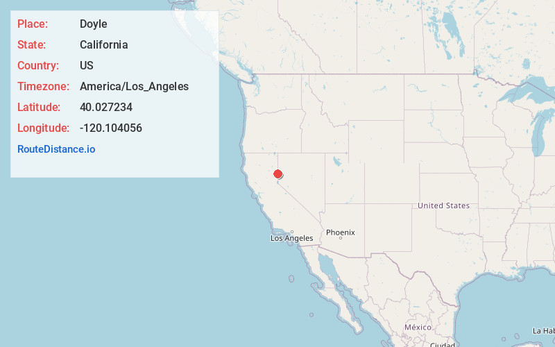
Static map view of Doyle, California
Browse Places by Distance
Places within specific distances from Doyle
Short Distances
Long Distances
Click any distance to see all places within that range from Doyle. Distances shown in miles (1 mile ≈ 1.61 kilometers).