Distance to Sandcut, Indiana

Calculating Your Route
Just a moment while we process your request...
Location Information
-
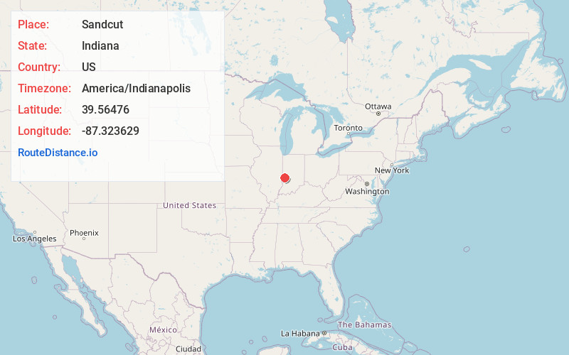
Full AddressSandcut, IN 47805
-
Coordinates39.56476, -87.3236292
-
LocationSandcut , Indiana , US
-
TimezoneAmerica/Indianapolis
-
Page Views0
About Sandcut
Sandcut is an unincorporated community in Otter Creek Township, Vigo County, in the U.S. state of Indiana. It is part of the Terre Haute metropolitan area. Little Gundy Creek flows on the southeastern side of Sandcut. Sandcut also has a volunteer fire department.
Nearby Places
Found 10 places within 50 miles

Burnett
2.1 mi
3.4 km
Burnett, IN 47805
Get directions
Markles
3.0 mi
4.8 km
Markles, North Terre Haute, IN 47805
Get directions
Atherton
3.6 mi
5.8 km
Atherton, IN 47874
Get directions
Fontanet
4.3 mi
6.9 km
Fontanet, IN
Get directions

Rosedale
4.5 mi
7.2 km
Rosedale, IN 47874
Get directions
Spelterville
4.7 mi
7.6 km
Spelterville, IN 47805
Get directions
Ehrmandale
5.0 mi
8.0 km
Ehrmandale, IN 47834
Get directions
Numa
5.2 mi
8.4 km
Numa, IN 47874
Get directions

Tecumseh
5.2 mi
8.4 km
Tecumseh, IN 47885
Get directions
Cobb
5.5 mi
8.9 km
Cobb, Nevins Township, IN 47874
Get directions
Location Links
Local Weather
Weather Information
Coming soon!
Location Map
Static map view of Sandcut, Indiana
Browse Places by Distance
Places within specific distances from Sandcut
Short Distances
Long Distances
Click any distance to see all places within that range from Sandcut. Distances shown in miles (1 mile ≈ 1.61 kilometers).