Distance to Sanders, Kentucky

Calculating Your Route
Just a moment while we process your request...
Location Information
-
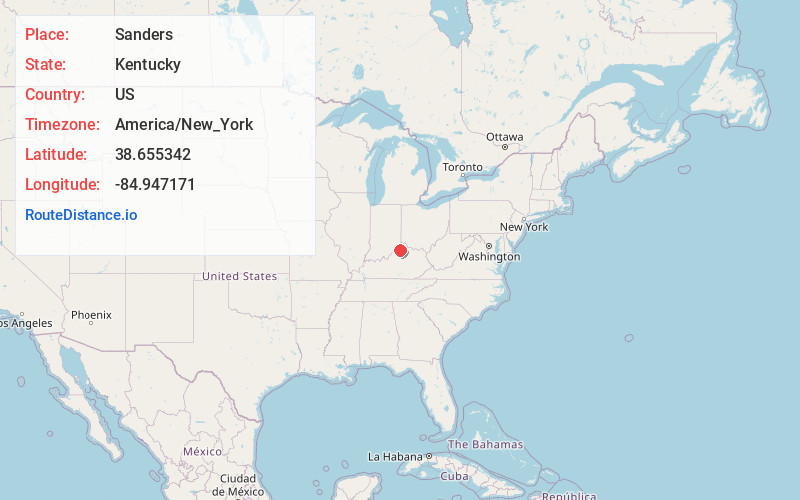
Full AddressSanders, KY 41083
-
Coordinates38.6553424, -84.9471712
-
LocationSanders , Kentucky , US
-
TimezoneAmerica/New_York
-
Current Local Time1:19:52 AM America/New_YorkMonday, June 30, 2025
-
Page Views0
About Sanders
Sanders is a home rule-class city in Carroll County, Kentucky, in the United States. The population was 238 as of the 2010 census.


Nearby Places
Found 10 places within 50 miles

Vevay
9.1 mi
14.6 km
Vevay, IN 47043
Get directions

Warsaw
9.2 mi
14.8 km
Warsaw, KY 41095
Get directions

Owenton
10.0 mi
16.1 km
Owenton, KY 40359
Get directions

Carrollton
12.7 mi
20.4 km
Carrollton, KY 41008
Get directions

Campbellsburg
16.5 mi
26.6 km
Campbellsburg, KY 40011
Get directions

Verona
19.1 mi
30.7 km
Verona, KY
Get directions

Dry Ridge
19.4 mi
31.2 km
Dry Ridge, KY 41035
Get directions

New Castle
19.5 mi
31.4 km
New Castle, KY
Get directions

Crittenden
20.6 mi
33.2 km
Crittenden, KY
Get directions

Williamstown
20.9 mi
33.6 km
Williamstown, KY
Get directions
Location Links
Local Weather
Weather Information
Coming soon!
Location Map
Static map view of Sanders, Kentucky
Browse Places by Distance
Places within specific distances from Sanders
Short Distances
Long Distances
Click any distance to see all places within that range from Sanders. Distances shown in miles (1 mile ≈ 1.61 kilometers).