Distance to Sanders Park, Florida

Calculating Your Route
Just a moment while we process your request...
Location Information
-
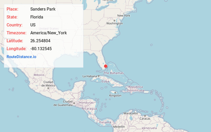
Full AddressSanders Park, Pompano Beach, FL 33060
-
Coordinates26.2548035, -80.1325447
-
LocationPompano Beach , Florida , US
-
TimezoneAmerica/New_York
-
Current Local Time3:57:15 AM America/New_YorkWednesday, June 18, 2025
-
Page Views0
Nearby Places
Found 10 places within 50 miles

Pompano Beach
1.7 mi
2.7 km
Pompano Beach, FL
Get directions

Garden Isles
2.3 mi
3.7 km
Garden Isles, Pompano Beach, FL 33060
Get directions
Harbor Village
2.6 mi
4.2 km
Harbor Village, Pompano Beach, FL 33062
Get directions

Coconut Creek
2.9 mi
4.7 km
Coconut Creek, FL
Get directions

Lighthouse Point
3.2 mi
5.1 km
Lighthouse Point, FL
Get directions

Margate
4.6 mi
7.4 km
Margate, FL
Get directions

Oakland Park
5.7 mi
9.2 km
Oakland Park, FL
Get directions

North Lauderdale
6.3 mi
10.1 km
North Lauderdale, FL
Get directions

Wilton Manors
6.5 mi
10.5 km
Wilton Manors, FL
Get directions

Lazy Lake
6.9 mi
11.1 km
Lazy Lake, FL 33305
Get directions
Location Links
Local Weather
Weather Information
Coming soon!
Location Map
Static map view of Sanders Park, Florida
Browse Places by Distance
Places within specific distances from Sanders Park
Short Distances
Long Distances
Click any distance to see all places within that range from Sanders Park. Distances shown in miles (1 mile ≈ 1.61 kilometers).