Distance to Sandy Bottom, Georgia

Calculating Your Route
Just a moment while we process your request...
Location Information
-
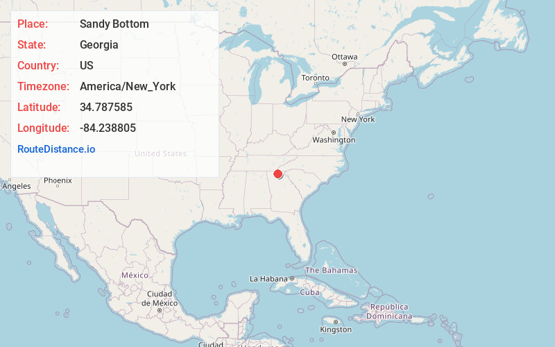
Full AddressSandy Bottom, Georgia 30560
-
Coordinates34.7875853, -84.2388049
-
LocationGeorgia , US
-
TimezoneAmerica/New_York
-
Current Local Time6:47:34 AM America/New_YorkWednesday, June 18, 2025
-
Page Views0


Nearby Places
Found 10 places within 50 miles

Stewart Mill
5.0 mi
8.0 km
Stewart Mill, GA 30513
Get directions

Morganton
6.3 mi
10.1 km
Morganton, GA 30560
Get directions

Blue Ridge
7.2 mi
11.6 km
Blue Ridge, GA 30513
Get directions
Maxwell
7.3 mi
11.7 km
Maxwell, GA 30513
Get directions

Cherry Log
8.6 mi
13.8 km
Cherry Log, GA 30522
Get directions
Wright Mill
8.9 mi
14.3 km
Wright Mill, GA 30560
Get directions

Mineral Bluff
9.0 mi
14.5 km
Mineral Bluff, GA 30559
Get directions
Rolston
9.9 mi
15.9 km
Rolston, GA 30536
Get directions

Hightower Gap
10.6 mi
17.1 km
Hightower Gap, Georgia 30513
Get directions
Chestnut Gap
12.4 mi
20.0 km
Chestnut Gap, GA 30522
Get directions
Location Links
Local Weather
Weather Information
Coming soon!
Location Map
Static map view of Sandy Bottom, Georgia
Browse Places by Distance
Places within specific distances from Sandy Bottom
Short Distances
Long Distances
Click any distance to see all places within that range from Sandy Bottom. Distances shown in miles (1 mile ≈ 1.61 kilometers).