Distance to Sandy Hook, Virginia

Calculating Your Route
Just a moment while we process your request...
Location Information
-
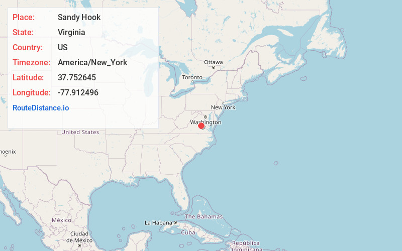
Full AddressSandy Hook, VA 23063
-
Coordinates37.7526452, -77.9124958
-
LocationSandy Hook , Virginia , US
-
TimezoneAmerica/New_York
-
Current Local Time5:21:16 PM America/New_YorkSaturday, May 17, 2025
-
Page Views0
About Sandy Hook
Sandy Hook is an unincorporated community in Goochland County, Virginia, United States. Sandy Hook is located on U.S. Route 522 5 miles north-northwest of Goochland. Sandy Hook has a post office with ZIP code 23153.
Nearby Places
Found 10 places within 50 miles

Irwin
4.1 mi
6.6 km
Irwin, VA 23063
Get directions
Cedar Point
4.2 mi
6.8 km
Cedar Point, Goochland, VA 23063
Get directions
East Leake
4.5 mi
7.2 km
East Leake, VA 23065
Get directions
Shelfar
4.7 mi
7.6 km
Shelfar, VA 23117
Get directions
Perkinsville
4.9 mi
7.9 km
Perkinsville, VA 23102
Get directions

Goochland
5.0 mi
8.0 km
Goochland, VA 23063
Get directions
Dabneys
6.1 mi
9.8 km
Dabneys, VA 23102
Get directions
Holly Grove
6.1 mi
9.8 km
Holly Grove, VA 23024
Get directions
Leaflet © OpenStreetMap contributors
Location Links
Local Weather
Weather Information
Coming soon!
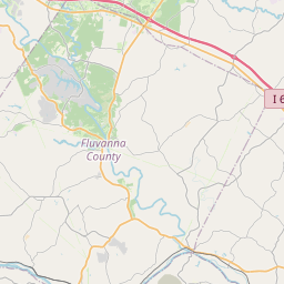
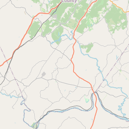
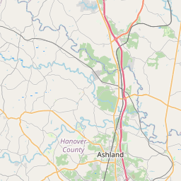
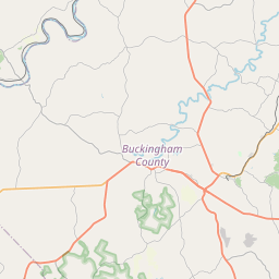
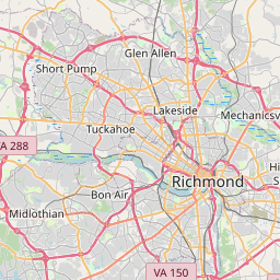
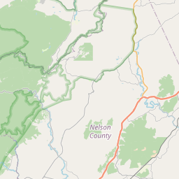
Location Map
Static map view of Sandy Hook, Virginia
Browse Places by Distance
Places within specific distances from Sandy Hook
Short Distances
Long Distances
Click any distance to see all places within that range from Sandy Hook. Distances shown in miles (1 mile ≈ 1.61 kilometers).