Distance to Sandy Point, Connecticut

Calculating Your Route
Just a moment while we process your request...
Location Information
-
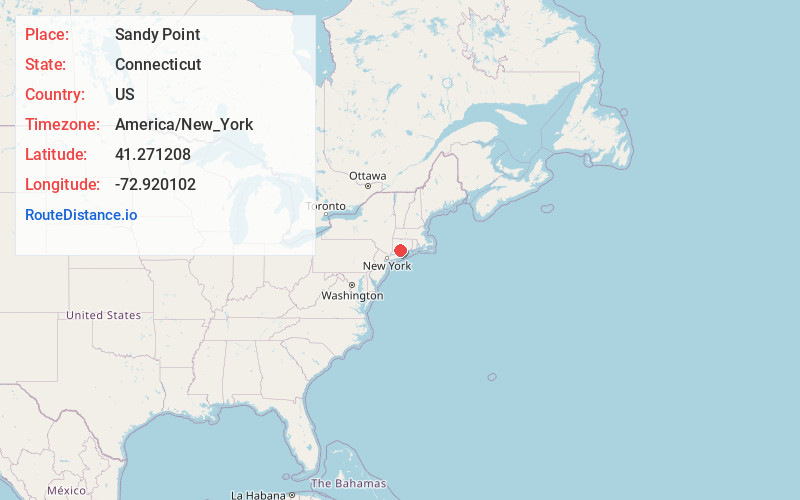
Full AddressSandy Point, Connecticut 06516
-
Coordinates41.2712081, -72.9201019
-
LocationConnecticut , US
-
TimezoneAmerica/New_York
-
Current Local Time11:53:44 AM America/New_YorkFriday, June 20, 2025
-
Page Views0
Nearby Places
Found 10 places within 50 miles

West Haven
1.5 mi
2.4 km
West Haven, CT 06516
Get directions

Sea Bluff Beach
2.4 mi
3.9 km
Sea Bluff Beach, West Haven, CT 06516
Get directions

East Haven
2.5 mi
4.0 km
East Haven, CT
Get directions

New Haven
2.6 mi
4.2 km
New Haven, CT
Get directions

Orange
5.6 mi
9.0 km
Orange, CT 06477
Get directions

Branford
5.7 mi
9.2 km
Branford, CT
Get directions

Indian Neck
6.2 mi
10.0 km
Indian Neck, Branford, CT 06405
Get directions

Montowese
6.3 mi
10.1 km
Montowese, North Haven, CT 06473
Get directions

Spring Glen
6.4 mi
10.3 km
Spring Glen, Hamden, CT 06517
Get directions

Woodbridge
7.3 mi
11.7 km
Woodbridge, CT 06525
Get directions
Location Links
Local Weather
Weather Information
Coming soon!
Location Map
Static map view of Sandy Point, Connecticut
Browse Places by Distance
Places within specific distances from Sandy Point
Short Distances
Long Distances
Click any distance to see all places within that range from Sandy Point. Distances shown in miles (1 mile ≈ 1.61 kilometers).