Distance to Orange, Connecticut

Calculating Your Route
Just a moment while we process your request...
Location Information
-
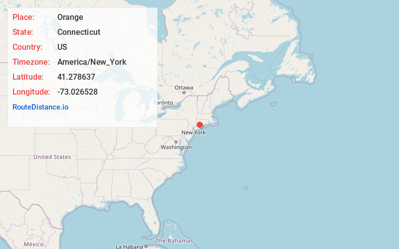
Full AddressOrange, CT 06477
-
Coordinates41.278637, -73.0265277
-
LocationOrange , Connecticut , US
-
TimezoneAmerica/New_York
-
Current Local Time4:39:12 PM America/New_YorkWednesday, July 2, 2025
-
Website
-
Page Views0
About Orange
Orange is a town in New Haven County, Connecticut, United States. The town is part of the South Central Connecticut Planning Region. The population was 14,280 at the 2020 census. The town is governed by a Board of Selectmen.


Nearby Places
Found 10 places within 50 miles

Milford
3.8 mi
6.1 km
Milford, CT
Get directions

Sea Bluff Beach
4.0 mi
6.4 km
Sea Bluff Beach, West Haven, CT 06516
Get directions

West Haven
4.0 mi
6.4 km
West Haven, CT 06516
Get directions

Shelton
4.3 mi
6.9 km
Shelton, CT 06484
Get directions

Derby
4.4 mi
7.1 km
Derby, CT
Get directions

Fort Trumbull Beach
5.1 mi
8.2 km
Fort Trumbull Beach, Milford, CT 06460
Get directions

Woodbridge
5.2 mi
8.4 km
Woodbridge, CT 06525
Get directions

Putney
5.4 mi
8.7 km
Putney, Stratford, CT 06614
Get directions

Ansonia
5.4 mi
8.7 km
Ansonia, CT
Get directions

New Haven
5.5 mi
8.9 km
New Haven, CT
Get directions
Location Links
Local Weather
Weather Information
Coming soon!
Location Map
Static map view of Orange, Connecticut
Browse Places by Distance
Places within specific distances from Orange
Short Distances
Long Distances
Click any distance to see all places within that range from Orange. Distances shown in miles (1 mile ≈ 1.61 kilometers).