Distance to Putney, Connecticut

Calculating Your Route
Just a moment while we process your request...
Location Information
-
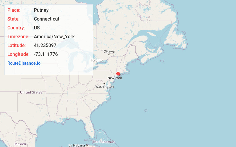
Full AddressPutney, Stratford, CT 06614
-
Coordinates41.2350968, -73.1117757
-
LocationStratford , Connecticut , US
-
TimezoneAmerica/New_York
-
Current Local Time10:43:05 PM America/New_YorkWednesday, June 18, 2025
-
Page Views0
About Putney
Putney is a section in the north end of Stratford, Connecticut. The area includes Boothe Memorial Park and Museum and Putney Chapel and abuts the neighborhood of Oronoque.
Nearby Places
Found 10 places within 50 miles

Milford
2.5 mi
4.0 km
Milford, CT
Get directions

Bridgeport
5.7 mi
9.2 km
Bridgeport, CT
Get directions

Shelton
5.7 mi
9.2 km
Shelton, CT 06484
Get directions

Derby
6.0 mi
9.7 km
Derby, CT
Get directions

Stratfield
6.7 mi
10.8 km
Stratfield, Fairfield, CT 06825
Get directions

Ansonia
7.9 mi
12.7 km
Ansonia, CT
Get directions

West Haven
8.8 mi
14.2 km
West Haven, CT 06516
Get directions

New Haven
10.8 mi
17.4 km
New Haven, CT
Get directions

Weston
14.2 mi
22.9 km
Weston, CT 06883
Get directions
Poplar Plains Brook
14.7 mi
23.7 km
Poplar Plains Brook, Westport, CT 06880
Get directions
Location Links
Local Weather
Weather Information
Coming soon!
Location Map
Static map view of Putney, Connecticut
Browse Places by Distance
Places within specific distances from Putney
Short Distances
Long Distances
Click any distance to see all places within that range from Putney. Distances shown in miles (1 mile ≈ 1.61 kilometers).