Distance to Sandy Point State Park, Maryland

Calculating Your Route
Just a moment while we process your request...
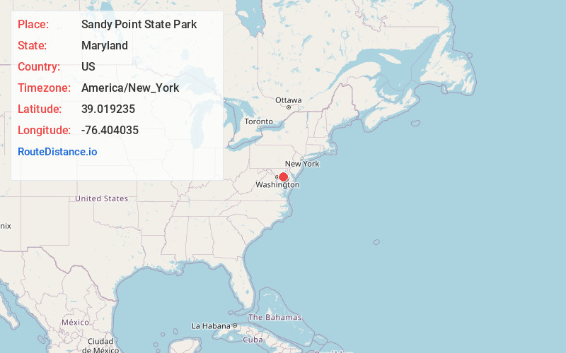
Location Information
-
Full AddressSandy Point State Park, 1100 E College Pkwy, Annapolis, MD 21409
-
Coordinates39.0192353, -76.4040354
-
Street1100 E College Pkwy
-
LocationAnnapolis , Maryland , US
-
TimezoneAmerica/New_York
-
Current Local Time10:55:51 AM America/New_YorkThursday, June 5, 2025
-
Page Views0
About Sandy Point State Park
Local beach & picnic area offering views of the Sandy Point Shoal Light & the Chesapeake Bay Bridge.


Nearby Places
Found 10 places within 50 miles

Skidmore
0.6 mi
1.0 km
Skidmore, MD 21409
Get directions
Tydings on the Bay
1.2 mi
1.9 km
Tydings on the Bay, MD 21409
Get directions
Whitehall Estates
1.5 mi
2.4 km
Whitehall Estates, MD 21409
Get directions
Beacon Hill
1.8 mi
2.9 km
Beacon Hill, MD 21409
Get directions
Whitehall Beach
2.0 mi
3.2 km
Whitehall Beach, MD 21409
Get directions
Amberley
2.0 mi
3.2 km
Amberley, MD 21409
Get directions

Cape St Claire
2.7 mi
4.3 km
Cape St Claire, MD 21409
Get directions
Beechwood on the Burley
2.8 mi
4.5 km
Beechwood on the Burley, MD 21409
Get directions
Hidden Point
3.0 mi
4.8 km
Hidden Point, MD 21409
Get directions
St Margarets
3.2 mi
5.1 km
St Margarets, MD 21409
Get directions
Location Links
Local Weather
Weather Information
Coming soon!
Location Map
Static map view of Sandy Point State Park, Maryland
Browse Places by Distance
Places within specific distances from Sandy Point State Park
Short Distances
Long Distances
Click any distance to see all places within that range from Sandy Point State Park. Distances shown in miles (1 mile ≈ 1.61 kilometers).