Distance to Sandy Springs Park, Tennessee

Calculating Your Route
Just a moment while we process your request...
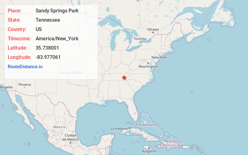
Location Information
-
Full AddressSandy Springs Park, 702 Best St, Maryville, TN 37803
-
Coordinates35.7380007, -83.9770608
-
Street702 Best St
-
LocationMaryville , Tennessee , US
-
TimezoneAmerica/New_York
-
Current Local Time11:47:10 PM America/New_YorkSunday, June 15, 2025
-
Page Views0
About Sandy Springs Park
20-acre park with lighted softball fields, tennis courts & a walking trail, plus picnic tables.


Nearby Places
Found 10 places within 50 miles

Highland Acres
0.8 mi
1.3 km
Highland Acres, Maryville, TN 37801
Get directions
Westwood Hills
1.2 mi
1.9 km
Westwood Hills, Maryville, TN 37803
Get directions

Maryville
1.3 mi
2.1 km
Maryville, TN
Get directions
Bungalow
1.8 mi
2.9 km
Bungalow, TN 37801
Get directions
College Park Estates
2.3 mi
3.7 km
College Park Estates, TN 37803
Get directions
Green Meadow
3.1 mi
5.0 km
Green Meadow, Alcoa, TN 37701
Get directions
Blockhouse
3.3 mi
5.3 km
Blockhouse, TN 37803
Get directions
Alnwick
3.5 mi
5.6 km
Alnwick, TN 37801
Get directions
Chilhowee View
3.5 mi
5.6 km
Chilhowee View, TN 37803
Get directions

Alcoa
3.6 mi
5.8 km
Alcoa, TN
Get directions
Location Links
Local Weather
Weather Information
Coming soon!
Location Map
Static map view of Sandy Springs Park, Tennessee
Browse Places by Distance
Places within specific distances from Sandy Springs Park
Short Distances
Long Distances
Click any distance to see all places within that range from Sandy Springs Park. Distances shown in miles (1 mile ≈ 1.61 kilometers).