Distance to Sano, Nevada

Calculating Your Route
Just a moment while we process your request...
Location Information
-
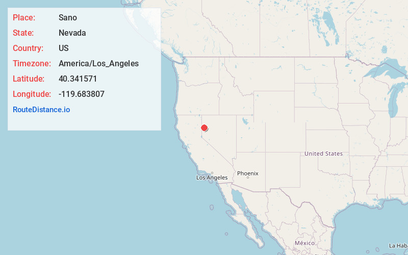
Full AddressSano, NV 89510
-
Coordinates40.3415707, -119.6838068
-
LocationNevada , US
-
TimezoneAmerica/Los_Angeles
-
Current Local Time8:53:31 PM America/Los_AngelesThursday, June 19, 2025
-
Page Views0
Nearby Places
Found 10 places within 50 miles

Smoke Creek
7.4 mi
11.9 km
Smoke Creek, NV 89405
Get directions

Sand Pass
7.5 mi
12.1 km
Sand Pass, NV 89510
Get directions
Reynard
11.4 mi
18.3 km
Reynard, NV 89412
Get directions
Zenobia
13.1 mi
21.1 km
Zenobia, NV 89510
Get directions
Pyramid
18.5 mi
29.8 km
Pyramid, NV 89510
Get directions
Stacy
19.3 mi
31.1 km
Stacy, CA 96136
Get directions
Phil
23.7 mi
38.1 km
Phil, NV 89405
Get directions

Empire
24.2 mi
38.9 km
Empire, NV 89405
Get directions

Sutcliffe
27.4 mi
44.1 km
Sutcliffe, NV 89510
Get directions

Herlong
27.4 mi
44.1 km
Herlong, CA 96113
Get directions
Location Links
Local Weather
Weather Information
Coming soon!
Location Map
Static map view of Sano, Nevada
Browse Places by Distance
Places within specific distances from Sano
Short Distances
Long Distances
Click any distance to see all places within that range from Sano. Distances shown in miles (1 mile ≈ 1.61 kilometers).