Distance to Santa Fe, Ohio

Calculating Your Route
Just a moment while we process your request...
Location Information
-
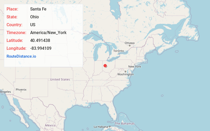
Full AddressSanta Fe, Clay Township, OH 45895
-
Coordinates40.4914376, -83.9941088
-
LocationClay Township , Ohio , US
-
TimezoneAmerica/New_York
-
Current Local Time7:00:38 PM America/New_YorkSunday, May 25, 2025
-
Page Views0
About Santa Fe
Santa Fe is an unincorporated community located on the border of Clay Township in Auglaize County and Stokes Township in Logan County, in the west central part of the U.S. state of Ohio.
The community was named in commemoration of the Capture of Santa Fe in the Mexican–American War.
Nearby Places
Found 10 places within 50 miles

Gutman
3.3 mi
5.3 km
Gutman, Clay Township, OH 45895
Get directions

Lakeview
3.8 mi
6.1 km
Lakeview, OH 43331
Get directions
Geyer
3.8 mi
6.1 km
Geyer, OH 45895
Get directions

Jackson Center
4.3 mi
6.9 km
Jackson Center, OH 45334
Get directions

New Hampshire
5.0 mi
8.0 km
New Hampshire, OH
Get directions

Russells Point
5.5 mi
8.9 km
Russells Point, OH
Get directions
Chippewa Park
5.7 mi
9.2 km
Chippewa Park, OH 43331
Get directions
Orchard Island
5.8 mi
9.3 km
Orchard Island, OH 43331
Get directions
St Johns
6.5 mi
10.5 km
St Johns, OH 45895
Get directions
Montra
6.7 mi
10.8 km
Montra, Jackson Township, OH 45302
Get directions
Location Links
Local Weather
Weather Information
Coming soon!
Location Map
Static map view of Santa Fe, Ohio
Browse Places by Distance
Places within specific distances from Santa Fe
Short Distances
Long Distances
Click any distance to see all places within that range from Santa Fe. Distances shown in miles (1 mile ≈ 1.61 kilometers).