Distance to St Johns, Ohio

Calculating Your Route
Just a moment while we process your request...
Location Information
-
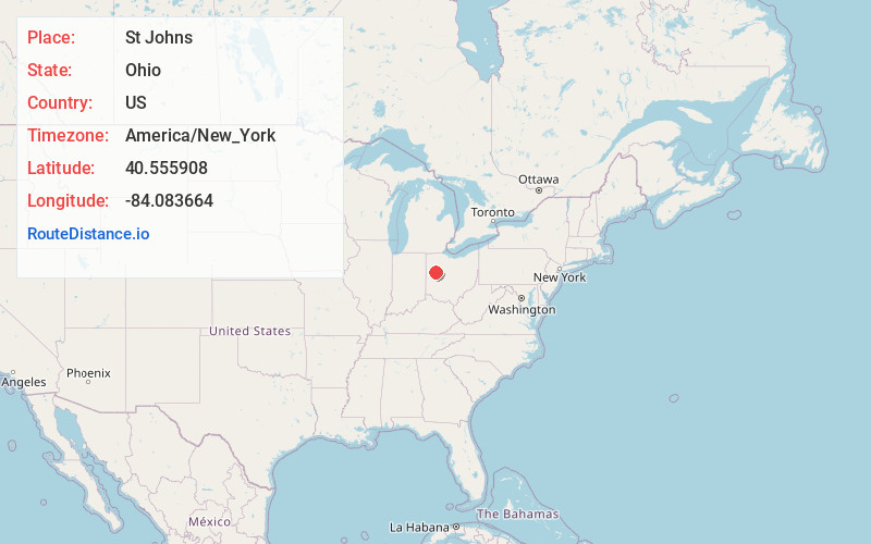
Full AddressSt Johns, OH 45895
-
Coordinates40.5559077, -84.0836642
-
LocationSt Johns , Ohio , US
-
TimezoneAmerica/New_York
-
Current Local Time3:41:41 PM America/New_YorkFriday, May 30, 2025
-
Page Views0
About St Johns
Saint Johns is a census-designated place located along the border between the Union and Clay townships of Auglaize County, Ohio, United States. As of the 2010 census it had a population of 304.
It is located between Indian Lake and Wapakoneta at the intersection of U.S. Route 33 and State Route 65.
Nearby Places
Found 10 places within 50 miles

Uniopolis
3.2 mi
5.1 km
Uniopolis, OH 45895
Get directions

Wapakoneta
5.8 mi
9.3 km
Wapakoneta, OH 45895
Get directions
Waynesfield
6.5 mi
10.5 km
Waynesfield, OH 45896
Get directions

New Hampshire
6.9 mi
11.1 km
New Hampshire, OH
Get directions
Cridersville
7.7 mi
12.4 km
Cridersville, OH
Get directions

Botkins
8.0 mi
12.9 km
Botkins, OH
Get directions

Jackson Center
8.4 mi
13.5 km
Jackson Center, OH 45334
Get directions
Fort Shawnee
9.5 mi
15.3 km
Fort Shawnee, OH
Get directions

Lakeview
9.8 mi
15.8 km
Lakeview, OH 43331
Get directions
Chippewa Park
10.6 mi
17.1 km
Chippewa Park, OH 43331
Get directions
Location Links
Local Weather
Weather Information
Coming soon!
Location Map
Static map view of St Johns, Ohio
Browse Places by Distance
Places within specific distances from St Johns
Short Distances
Long Distances
Click any distance to see all places within that range from St Johns. Distances shown in miles (1 mile ≈ 1.61 kilometers).