Distance to Santa Susana, California

Calculating Your Route
Just a moment while we process your request...
Location Information
-
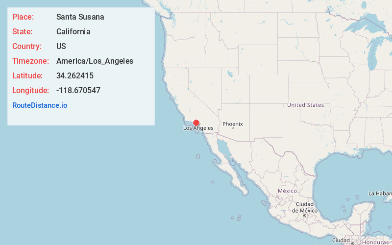
Full AddressSanta Susana, CA 93063
-
Coordinates34.2624148, -118.6705467
-
LocationSanta Susana , California , US
-
TimezoneAmerica/Los_Angeles
-
Current Local Time11:38:12 AM America/Los_AngelesTuesday, June 24, 2025
-
Page Views0
About Santa Susana
Santa Susana is a former railroad town located mostly within the City of Simi Valley. A small portion of the community, outside the Simi Valley city limits to the south of the Ventura County Metrolink rail line, is an unincorporated area and census-designated place.


Nearby Places
Found 10 places within 50 miles

Bell Canyon
4.0 mi
6.4 km
Bell Canyon, CA 91307
Get directions

Simi Valley
6.4 mi
10.3 km
Simi Valley, CA
Get directions

Hidden Hills
6.7 mi
10.8 km
Hidden Hills, CA 91302
Get directions

Calabasas
7.6 mi
12.2 km
Calabasas, CA
Get directions

Oak Park
7.8 mi
12.6 km
Oak Park, CA 91377
Get directions

Agoura Hills
9.2 mi
14.8 km
Agoura Hills, CA 91301
Get directions

Westlake Village
11.2 mi
18.0 km
Westlake Village, CA
Get directions

Santa Clarita
11.5 mi
18.5 km
Santa Clarita, CA
Get directions

Thousand Oaks
11.8 mi
19.0 km
Thousand Oaks, CA
Get directions

Moorpark
12.2 mi
19.6 km
Moorpark, CA 93021
Get directions
Location Links
Local Weather
Weather Information
Coming soon!
Location Map
Static map view of Santa Susana, California
Browse Places by Distance
Places within specific distances from Santa Susana
Short Distances
Long Distances
Click any distance to see all places within that range from Santa Susana. Distances shown in miles (1 mile ≈ 1.61 kilometers).