Distance to Sapp, Missouri

Calculating Your Route
Just a moment while we process your request...
Location Information
-
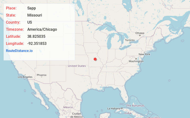
Full AddressSapp, MO 65203
-
Coordinates38.8250352, -92.3518529
-
LocationSapp , Missouri , US
-
TimezoneAmerica/Chicago
-
Current Local Time8:05:36 AM America/ChicagoMonday, June 23, 2025
-
Page Views0
Nearby Places
Found 10 places within 50 miles

Providence
3.0 mi
4.8 km
Providence, Rock Bridge Township, MO 65203
Get directions
Pierpont
3.3 mi
5.3 km
Pierpont, MO
Get directions
Elkhurst
5.4 mi
8.7 km
Elkhurst, MO 65201
Get directions
Lupus
5.6 mi
9.0 km
Lupus, MO 65046
Get directions

Ashland
6.2 mi
10.0 km
Ashland, MO
Get directions

McBaine
6.7 mi
10.8 km
McBaine, MO 65203
Get directions

Jamestown
8.1 mi
13.0 km
Jamestown, MO 65046
Get directions
Oldham
8.1 mi
13.0 km
Oldham, MO 65039
Get directions
Huntsdale
8.8 mi
14.2 km
Huntsdale, MO
Get directions

Columbia
8.8 mi
14.2 km
Columbia, MO
Get directions
Location Links
Local Weather
Weather Information
Coming soon!
Location Map
Static map view of Sapp, Missouri
Browse Places by Distance
Places within specific distances from Sapp
Short Distances
Long Distances
Click any distance to see all places within that range from Sapp. Distances shown in miles (1 mile ≈ 1.61 kilometers).