Distance to Saul, Kentucky

Calculating Your Route
Just a moment while we process your request...
Location Information
-
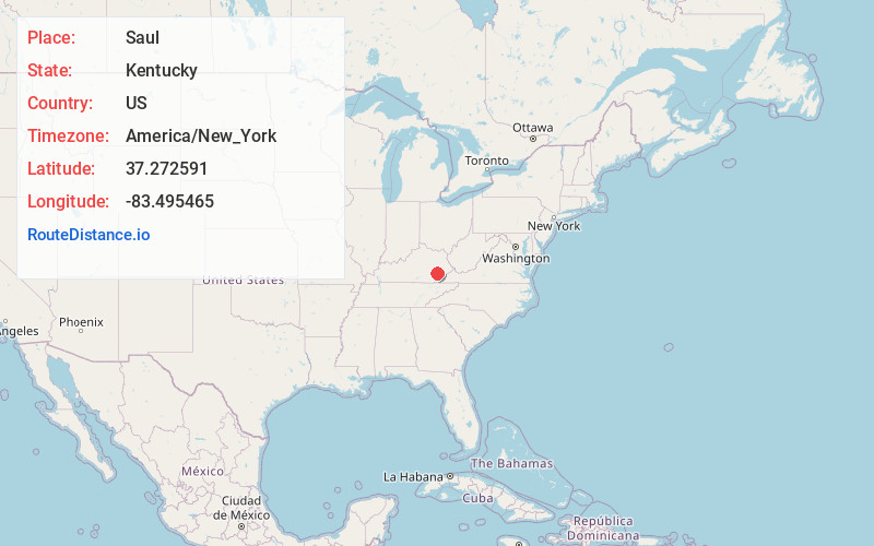
Full AddressSaul, KY 41721
-
Coordinates37.2725912, -83.4954647
-
LocationSaul , Kentucky , US
-
TimezoneAmerica/New_York
-
Current Local Time12:36:15 PM America/New_YorkMonday, June 23, 2025
-
Page Views0
About Saul
Saul is an unincorporated community located in Perry County, Kentucky, United States.
Nearby Places
Found 10 places within 50 miles

Buckhorn
5.4 mi
8.7 km
Buckhorn, KY 41721
Get directions
Mistletoe
6.0 mi
9.7 km
Mistletoe, KY 40972
Get directions
Lucky Fork
7.7 mi
12.4 km
Lucky Fork, KY 41721
Get directions
Eriline
7.9 mi
12.7 km
Eriline, KY 40972
Get directions
Bear Branch
8.1 mi
13.0 km
Bear Branch, KY 41714
Get directions
Big Creek
8.7 mi
14.0 km
Big Creek, KY 40914
Get directions

Oneida
8.7 mi
14.0 km
Oneida, KY 40972
Get directions
Chavies
9.2 mi
14.8 km
Chavies, KY 41727
Get directions
Teges
9.6 mi
15.4 km
Teges, KY 40972
Get directions
Red Hill
10.1 mi
16.3 km
Red Hill, KY 41701
Get directions
Location Links
Local Weather
Weather Information
Coming soon!
Location Map
Static map view of Saul, Kentucky
Browse Places by Distance
Places within specific distances from Saul
Short Distances
Long Distances
Click any distance to see all places within that range from Saul. Distances shown in miles (1 mile ≈ 1.61 kilometers).