Distance to Savo Township, South Dakota

Calculating Your Route
Just a moment while we process your request...
Location Information
-
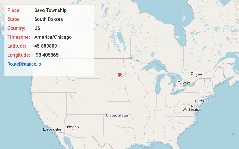
Full AddressSavo Township, SD 57441
-
Coordinates45.8808093, -98.4058649
-
LocationSavo Township , South Dakota , US
-
TimezoneAmerica/Chicago
-
Current Local Time5:35:36 AM America/ChicagoWednesday, June 18, 2025
-
Page Views0
About Savo Township
Savo Township is a township in Brown County, South Dakota, United States. As of the 2010 Census, it had a population of 71.
It is almost entirely populated by Finns, or people of Finnish heritage
Nearby Places
Found 10 places within 50 miles

Frederick
5.9 mi
9.5 km
Frederick, SD 57441
Get directions
Winship
6.2 mi
10.0 km
Winship, SD 57441
Get directions
Silverleaf
9.3 mi
15.0 km
Silverleaf, ND 58436
Get directions
Ellendale
10.2 mi
16.4 km
Ellendale, ND 58436
Get directions

Barnard
11.1 mi
17.9 km
Barnard, SD 57426
Get directions
Hecla
12.2 mi
19.6 km
Hecla, SD 57446
Get directions
Houghton
12.4 mi
20.0 km
Houghton, SD 57449
Get directions
Guelph
12.8 mi
20.6 km
Guelph, ND 58474
Get directions
Duane
14.8 mi
23.8 km
Duane, ND 58436
Get directions
Ludden
16.1 mi
25.9 km
Ludden, ND 58474
Get directions
Location Links
Local Weather
Weather Information
Coming soon!
Location Map
Static map view of Savo Township, South Dakota
Browse Places by Distance
Places within specific distances from Savo Township
Short Distances
Long Distances
Click any distance to see all places within that range from Savo Township. Distances shown in miles (1 mile ≈ 1.61 kilometers).