Distance to Scallorn, Texas

Calculating Your Route
Just a moment while we process your request...
Location Information
-
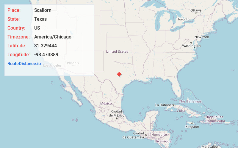
Full AddressScallorn, TX 76844
-
Coordinates31.329444, -98.473889
-
LocationScallorn , Texas , US
-
TimezoneAmerica/Chicago
-
Current Local Time8:51:18 AM America/ChicagoTuesday, May 20, 2025
-
Page Views0
About Scallorn
Scallorn is an unincorporated community in Mills County, Texas, United States. Scallorn is located along a BNSF Railway line and is near U.S. Route 183. Scallorn was founded along what was then the Gulf, Colorado and Santa Fe Railway in 1888. The community was named after Gid Scallorn, the foreman of a nearby ranch.
Nearby Places
Found 10 places within 50 miles

Castor
3.5 mi
5.6 km
Castor, TX 76844
Get directions

Lometa
9.1 mi
14.6 km
Lometa, TX 76853
Get directions

Goldthwaite
10.1 mi
16.3 km
Goldthwaite, TX 76844
Get directions
Moline
10.3 mi
16.6 km
Moline, TX 76844
Get directions

San Saba
17.1 mi
27.5 km
San Saba, TX 76877
Get directions
Mullin
19.4 mi
31.2 km
Mullin, TX 76864
Get directions
Chappel
19.8 mi
31.9 km
Chappel, TX 76877
Get directions

Evant
21.5 mi
34.6 km
Evant, TX 76525
Get directions
Algerita
23.5 mi
37.8 km
Algerita, TX 76877
Get directions

Priddy
24.0 mi
38.6 km
Priddy, TX 76442
Get directions
Location Links
Local Weather
Weather Information
Coming soon!
Location Map
Static map view of Scallorn, Texas
Browse Places by Distance
Places within specific distances from Scallorn
Short Distances
Long Distances
Click any distance to see all places within that range from Scallorn. Distances shown in miles (1 mile ≈ 1.61 kilometers).