Distance to Schoeneck, Pennsylvania

Calculating Your Route
Just a moment while we process your request...
Location Information
-
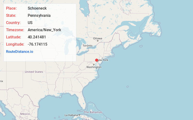
Full AddressSchoeneck, PA
-
Coordinates40.2414812, -76.1741145
-
LocationSchoeneck , Pennsylvania , US
-
TimezoneAmerica/New_York
-
Current Local Time12:58:25 AM America/New_YorkMonday, June 2, 2025
-
Page Views0
About Schoeneck
Schoeneck is an unincorporated community and census-designated place that is located in West Cocalico Township, Lancaster County, Pennsylvania, United States. The name Schoeneck is a corruption of the Pennsylvania Dutch phrase, "Schoenes Eck," which translates to "pretty corner."

Nearby Places
Found 10 places within 50 miles

West Cocalico Township
1.1 mi
1.8 km
West Cocalico Township, PA
Get directions

Denver
2.0 mi
3.2 km
Denver, PA 17517
Get directions
Reamstown
3.4 mi
5.5 km
Reamstown, PA
Get directions

Reinholds
3.6 mi
5.8 km
Reinholds, PA
Get directions
East Cocalico Township
4.2 mi
6.8 km
East Cocalico Township, PA
Get directions

Ephrata
4.3 mi
6.9 km
Ephrata, PA 17522
Get directions
Clay
4.6 mi
7.4 km
Clay, PA
Get directions
Swartzville
5.1 mi
8.2 km
Swartzville, PA
Get directions

Akron
6.0 mi
9.7 km
Akron, PA 17501
Get directions
South Heidelberg Township
6.1 mi
9.8 km
South Heidelberg Township, PA
Get directions
Location Links
Local Weather
Weather Information
Coming soon!
Location Map
Static map view of Schoeneck, Pennsylvania
Browse Places by Distance
Places within specific distances from Schoeneck
Short Distances
Long Distances
Click any distance to see all places within that range from Schoeneck. Distances shown in miles (1 mile ≈ 1.61 kilometers).