Distance to Scotch Grove, Iowa

Calculating Your Route
Just a moment while we process your request...
Location Information
-
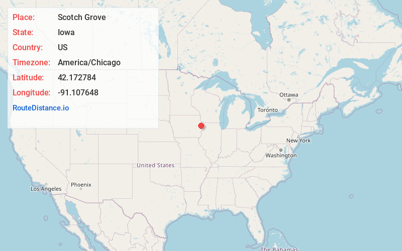
Full AddressScotch Grove, IA 52310
-
Coordinates42.1727842, -91.1076484
-
LocationScotch Grove , Iowa , US
-
TimezoneAmerica/Chicago
-
Current Local Time9:11:05 PM America/ChicagoMonday, May 19, 2025
-
Page Views0
About Scotch Grove
Scotch Grove is an unincorporated community in Jones County, Iowa, United States. Scotch Grove is located on Iowa Highway 38, southeast of Monticello and north of Center Junction. The townsite was listed as a historic district on the National Register of Historic Places in 2014.
Nearby Places
Found 10 places within 50 miles

Edinburg
3.0 mi
4.8 km
Edinburg, IA 52310
Get directions
Springhole
3.2 mi
5.1 km
Springhole, IA 52310
Get directions
Dales Ford
3.6 mi
5.8 km
Dales Ford, IA 52033
Get directions
Center Junction
4.1 mi
6.6 km
Center Junction, IA 52212
Get directions
Amber
4.8 mi
7.7 km
Amber, IA 52205
Get directions
Langworthy
6.0 mi
9.7 km
Langworthy, IA 52252
Get directions

Monticello
6.1 mi
9.8 km
Monticello, IA 52310
Get directions
Onslow
6.6 mi
10.6 km
Onslow, IA 52321
Get directions
Clay Mills
8.5 mi
13.7 km
Clay Mills, IA 52033
Get directions

Wyoming
9.4 mi
15.1 km
Wyoming, IA 52362
Get directions
Location Links
Local Weather
Weather Information
Coming soon!
Location Map
Static map view of Scotch Grove, Iowa
Browse Places by Distance
Places within specific distances from Scotch Grove
Short Distances
Long Distances
Click any distance to see all places within that range from Scotch Grove. Distances shown in miles (1 mile ≈ 1.61 kilometers).