Distance to Scotland, Missouri

Calculating Your Route
Just a moment while we process your request...
Location Information
-
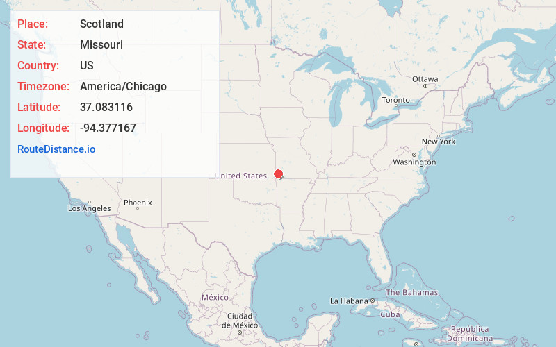
Full AddressScotland, MO 64836
-
Coordinates37.0831162, -94.3771668
-
LocationScotland , Missouri , US
-
TimezoneAmerica/Chicago
-
Current Local Time9:02:41 AM America/ChicagoFriday, May 30, 2025
-
Page Views0
About Scotland
Scotland is an unincorporated community in Jasper County, Missouri, United States. It is located slightly northwest of the junction of Missouri Route 66 and Interstate 44/US 71.
A post office called Scotland was established in 1873, and remained in operation until 1908.
Nearby Places
Found 10 places within 50 miles

Duenweg
2.0 mi
3.2 km
Duenweg, MO
Get directions
Fidelity
3.7 mi
6.0 km
Fidelity, MO 64836
Get directions
Duquesne
4.6 mi
7.4 km
Duquesne, MO
Get directions

Carterville
5.8 mi
9.3 km
Carterville, MO 64835
Get directions
Morgan Heights
5.8 mi
9.3 km
Morgan Heights, MO 64836
Get directions
Brooklyn Heights
6.0 mi
9.7 km
Brooklyn Heights, MO 64836
Get directions

Webb City
6.4 mi
10.3 km
Webb City, MO
Get directions

Saginaw
6.5 mi
10.5 km
Saginaw, MO 64804
Get directions

Diamond
6.9 mi
11.1 km
Diamond, MO 64840
Get directions
Leawood
7.3 mi
11.7 km
Leawood, MO 64804
Get directions
Location Links
Local Weather
Weather Information
Coming soon!
Location Map
Static map view of Scotland, Missouri
Browse Places by Distance
Places within specific distances from Scotland
Short Distances
Long Distances
Click any distance to see all places within that range from Scotland. Distances shown in miles (1 mile ≈ 1.61 kilometers).