Distance to Scotsdale, Missouri

Calculating Your Route
Just a moment while we process your request...
Location Information
-
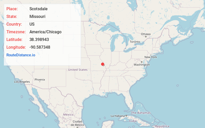
Full AddressScotsdale, MO 63051
-
Coordinates38.398943, -90.5873478
-
LocationScotsdale , Missouri , US
-
TimezoneAmerica/Chicago
-
Current Local Time12:33:55 AM America/ChicagoSunday, June 8, 2025
-
Page Views0
About Scotsdale
Scotsdale is a village in Jefferson County, Missouri, United States. The population was 222 at the 2010 census.
Nearby Places
Found 10 places within 50 miles

Byrnes Mill
3.0 mi
4.8 km
Byrnes Mill, MO
Get directions

Cedar Hill
4.3 mi
6.9 km
Cedar Hill, MO 63016
Get directions

High Ridge
5.0 mi
8.0 km
High Ridge, MO 63049
Get directions

Cedar Hill Lakes
6.1 mi
9.8 km
Cedar Hill Lakes, MO
Get directions
Parkdale
6.4 mi
10.3 km
Parkdale, MO 63049
Get directions

Eureka
7.5 mi
12.1 km
Eureka, MO
Get directions

Murphy
8.3 mi
13.4 km
Murphy, MO
Get directions

Pacific
10.1 mi
16.3 km
Pacific, MO 63069
Get directions

Fenton
11.1 mi
17.9 km
Fenton, MO
Get directions

Barnhart
11.2 mi
18.0 km
Barnhart, MO 63012
Get directions
Location Links
Local Weather
Weather Information
Coming soon!
Location Map
Static map view of Scotsdale, Missouri
Browse Places by Distance
Places within specific distances from Scotsdale
Short Distances
Long Distances
Click any distance to see all places within that range from Scotsdale. Distances shown in miles (1 mile ≈ 1.61 kilometers).