Distance to Scottown, Ohio

Calculating Your Route
Just a moment while we process your request...
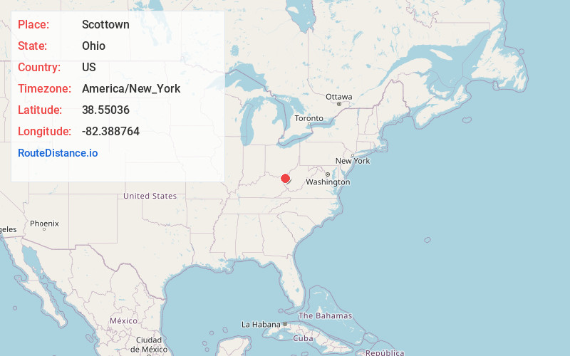
Location Information
-
Full AddressScottown, OH 45678
-
Coordinates38.55036, -82.3887638
-
LocationScottown , Ohio , US
-
TimezoneAmerica/New_York
-
Current Local Time2:09:12 PM America/New_YorkSunday, May 18, 2025
-
Page Views0
About Scottown
Scottown is an unincorporated community in eastern Windsor Township, Lawrence County, Ohio, United States. It has a post office with the ZIP code 45678.
Nearby Places
Found 10 places within 50 miles

Cebee
2.3 mi
3.7 km
Cebee, Windsor Township, OH 45669
Get directions
Polkadotte
2.5 mi
4.0 km
Polkadotte, Windsor Township, OH 45678
Get directions
Bartramville
4.0 mi
6.4 km
Bartramville, Union Township, OH 45669
Get directions
Willow Wood
4.4 mi
7.1 km
Willow Wood, OH
Get directions
Miller
4.8 mi
7.7 km
Miller, OH
Get directions

Athalia
5.0 mi
8.0 km
Athalia, OH 45669
Get directions
Green Bottom
5.7 mi
9.2 km
Green Bottom, WV 25537
Get directions

Lesage
5.7 mi
9.2 km
Lesage, WV
Get directions
Getaway
6.1 mi
9.8 km
Getaway, Union Township, OH 45619
Get directions

Crown City
6.4 mi
10.3 km
Crown City, OH 45623
Get directions
Location Links
Local Weather
Weather Information
Coming soon!
Location Map
Static map view of Scottown, Ohio
Browse Places by Distance
Places within specific distances from Scottown
Short Distances
Long Distances
Click any distance to see all places within that range from Scottown. Distances shown in miles (1 mile ≈ 1.61 kilometers).