Distance to Scotts, North Carolina

Calculating Your Route
Just a moment while we process your request...
Location Information
-
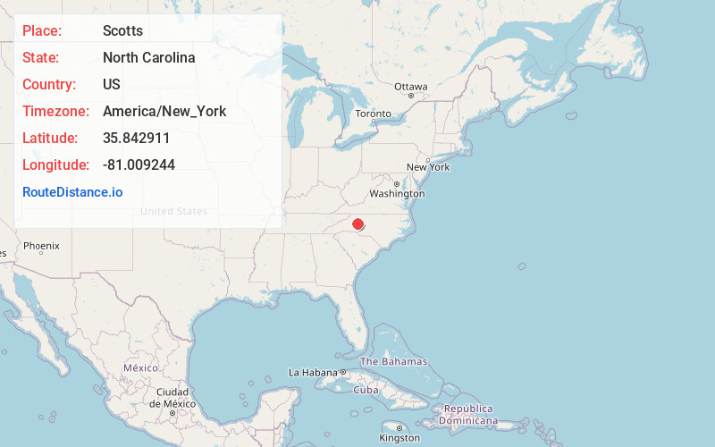
Full AddressScotts, NC 28625
-
Coordinates35.8429113, -81.0092441
-
LocationScotts , North Carolina , US
-
TimezoneAmerica/New_York
-
Current Local Time5:19:15 AM America/New_YorkWednesday, June 18, 2025
-
Page Views0
About Scotts
Scotts is an unincorporated community in Iredell County, North Carolina, United States. The community is located on North Carolina Highway 90, 8 miles west-northwest of Statesville. Scotts has a post office with ZIP code 28699.
Nearby Places
Found 10 places within 50 miles

Stony Point
2.6 mi
4.2 km
Stony Point, NC 28678
Get directions

Loray
2.9 mi
4.7 km
Loray, NC 28625
Get directions

Bradford Crossroads
4.1 mi
6.6 km
Bradford Crossroads, NC 28625
Get directions
Sharon
5.7 mi
9.2 km
Sharon, NC 28625
Get directions

Hiddenite
6.2 mi
10.0 km
Hiddenite, NC 28636
Get directions
Celeste Hinkel
6.2 mi
10.0 km
Celeste Hinkel, NC 28677
Get directions

Iredell County
6.2 mi
10.0 km
Iredell County, NC
Get directions
Fairview Park
6.7 mi
10.8 km
Fairview Park, NC 28681
Get directions
Central
6.9 mi
11.1 km
Central, NC 28625
Get directions

Statesville
7.9 mi
12.7 km
Statesville, NC
Get directions
Location Links
Local Weather
Weather Information
Coming soon!
Location Map
Static map view of Scotts, North Carolina
Browse Places by Distance
Places within specific distances from Scotts
Short Distances
Long Distances
Click any distance to see all places within that range from Scotts. Distances shown in miles (1 mile ≈ 1.61 kilometers).