Distance to Scottville, North Carolina

Calculating Your Route
Just a moment while we process your request...
Location Information
-
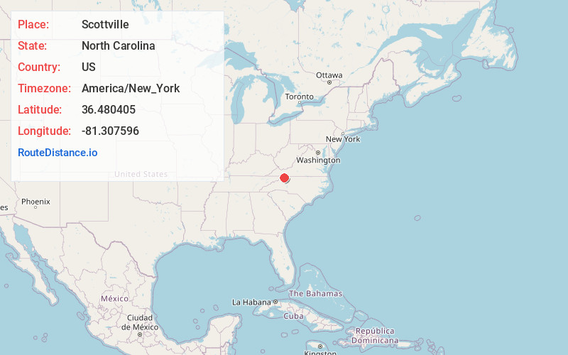
Full AddressScottville, NC 28644
-
Coordinates36.4804045, -81.3075956
-
LocationScottville , North Carolina , US
-
TimezoneAmerica/New_York
-
Current Local Time10:02:20 AM America/New_YorkTuesday, June 24, 2025
-
Page Views0
About Scottville
Scottville is an unincorporated community in both Ashe and Alleghany counties, North Carolina, United States, on U.S. Route 221. It lies at an elevation of 2,854 feet. The ZIP Code for Scottville is 28672.
The Bower-Cox House and Samuel Cox House are listed on the National Register of Historic Places.


Nearby Places
Found 10 places within 50 miles

Topia
2.5 mi
4.0 km
Topia, NC 28663
Get directions
Chestnut Hill
3.0 mi
4.8 km
Chestnut Hill, NC 28617
Get directions

Piney Creek
4.9 mi
7.9 km
Piney Creek, NC 28663
Get directions
Nathans Creek
5.0 mi
8.0 km
Nathans Creek, NC 28617
Get directions

Crumpler
5.1 mi
8.2 km
Crumpler, NC 28617
Get directions

Laurel Springs
5.4 mi
8.7 km
Laurel Springs, NC 28644
Get directions
Ore Knob
5.7 mi
9.2 km
Ore Knob, NC 28644
Get directions
Weavers Ford
6.0 mi
9.7 km
Weavers Ford, NC 28617
Get directions
Amelia
7.2 mi
11.6 km
Amelia, NC 28675
Get directions

Mouth of Wilson
7.7 mi
12.4 km
Mouth of Wilson, VA 24363
Get directions
Location Links
Local Weather
Weather Information
Coming soon!
Location Map
Static map view of Scottville, North Carolina
Browse Places by Distance
Places within specific distances from Scottville
Short Distances
Long Distances
Click any distance to see all places within that range from Scottville. Distances shown in miles (1 mile ≈ 1.61 kilometers).