Distance to Amelia, North Carolina

Calculating Your Route
Just a moment while we process your request...
Location Information
-
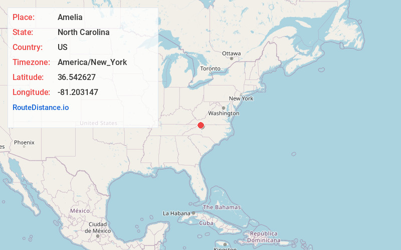
Full AddressAmelia, NC 28675
-
Coordinates36.542627, -81.2031465
-
LocationAmelia , North Carolina , US
-
TimezoneAmerica/New_York
-
Current Local Time5:34:14 PM America/New_YorkTuesday, June 17, 2025
-
Page Views0
Nearby Places
Found 10 places within 50 miles

Piney Creek
4.8 mi
7.7 km
Piney Creek, NC 28663
Get directions

Sparta
5.2 mi
8.4 km
Sparta, NC 28675
Get directions

Whitehead
5.9 mi
9.5 km
Whitehead, NC 28675
Get directions

Independence
6.2 mi
10.0 km
Independence, VA 24348
Get directions
Topia
6.6 mi
10.6 km
Topia, NC 28663
Get directions
Edwards Crossroads
8.1 mi
13.0 km
Edwards Crossroads, NC 28675
Get directions

Mouth of Wilson
8.1 mi
13.0 km
Mouth of Wilson, VA 24363
Get directions
Chestnut Hill
8.7 mi
14.0 km
Chestnut Hill, NC 28617
Get directions
Weavers Ford
9.5 mi
15.3 km
Weavers Ford, NC 28617
Get directions

Laurel Springs
9.6 mi
15.4 km
Laurel Springs, NC 28644
Get directions
Location Links
Local Weather
Weather Information
Coming soon!
Location Map
Static map view of Amelia, North Carolina
Browse Places by Distance
Places within specific distances from Amelia
Short Distances
Long Distances
Click any distance to see all places within that range from Amelia. Distances shown in miles (1 mile ≈ 1.61 kilometers).