Distance to Independence, Virginia

Calculating Your Route
Just a moment while we process your request...
Location Information
-
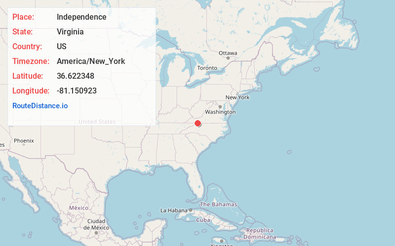
Full AddressIndependence, VA 24348
-
Coordinates36.6223478, -81.150923
-
LocationIndependence , Virginia , US
-
TimezoneAmerica/New_York
-
Current Local Time4:09:39 PM America/New_YorkSaturday, May 31, 2025
-
Page Views0
About Independence
Independence is a town located in, and the county seat of, Grayson County, Virginia, United States. At the 2020 U.S. census, it had a population of 1,001. It is situated on Virginia's Crooked Road, a heritage trail celebrating the musical heritage of Southwest Virginia.


Nearby Places
Found 10 places within 50 miles

Sparta
8.3 mi
13.4 km
Sparta, NC 28675
Get directions

Galax
12.9 mi
20.8 km
Galax, VA 24333
Get directions

Woodlawn
19.5 mi
31.4 km
Woodlawn, VA
Get directions

Rural Retreat
20.0 mi
32.2 km
Rural Retreat, VA
Get directions

Jefferson
22.7 mi
36.5 km
Jefferson, NC 28640
Get directions

Wytheville
22.8 mi
36.7 km
Wytheville, VA 24382
Get directions

West Jefferson
24.3 mi
39.1 km
West Jefferson, NC
Get directions

Marion
24.9 mi
40.1 km
Marion, VA 24354
Get directions

Hillsville
25.0 mi
40.2 km
Hillsville, VA 24343
Get directions

Hays
25.8 mi
41.5 km
Hays, NC
Get directions
Location Links
Local Weather
Weather Information
Coming soon!
Location Map
Static map view of Independence, Virginia
Browse Places by Distance
Places within specific distances from Independence
Short Distances
Long Distances
Click any distance to see all places within that range from Independence. Distances shown in miles (1 mile ≈ 1.61 kilometers).