Distance to Whitehead, North Carolina

Calculating Your Route
Just a moment while we process your request...
Location Information
-
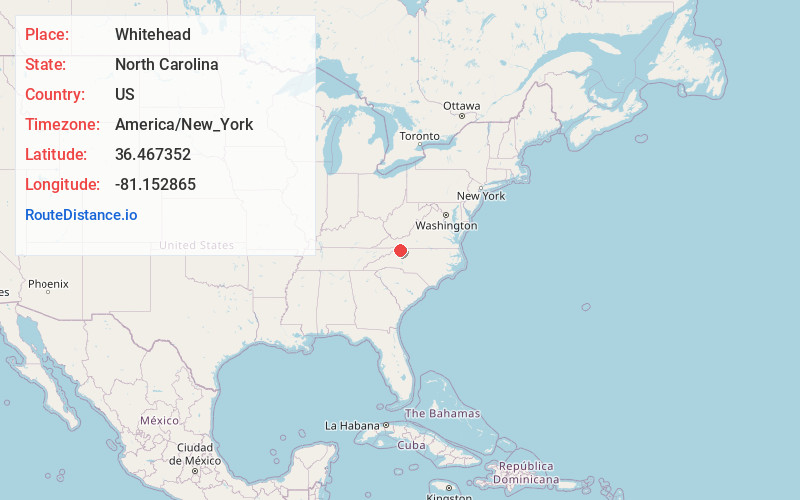
Full AddressWhitehead, NC 28675
-
Coordinates36.4673515, -81.1528648
-
LocationWhitehead , North Carolina , US
-
TimezoneAmerica/New_York
-
Current Local Time7:36:01 PM America/New_YorkSaturday, May 31, 2025
-
Page Views0
Nearby Places
Found 10 places within 50 miles

Sparta
3.2 mi
5.1 km
Sparta, NC 28675
Get directions

Glade Valley
5.6 mi
9.0 km
Glade Valley, NC 28627
Get directions

Edwards Crossroads
6.8 mi
10.9 km
Edwards Crossroads, NC 28675
Get directions
Abshers
7.2 mi
11.6 km
Abshers, NC 28635
Get directions
Cherry Lane
7.7 mi
12.4 km
Cherry Lane, NC 28627
Get directions
Hare
9.6 mi
15.4 km
Hare, NC 28627
Get directions
Topia
9.7 mi
15.6 km
Topia, NC 28663
Get directions

Independence
10.7 mi
17.2 km
Independence, VA 24348
Get directions
Ore Knob
10.8 mi
17.4 km
Ore Knob, NC 28644
Get directions
Dehart
11.6 mi
18.7 km
Dehart, NC 28635
Get directions
Location Links
Local Weather
Weather Information
Coming soon!
Location Map
Static map view of Whitehead, North Carolina
Browse Places by Distance
Places within specific distances from Whitehead
Short Distances
Long Distances
Click any distance to see all places within that range from Whitehead. Distances shown in miles (1 mile ≈ 1.61 kilometers).