Distance to Scuddy, Kentucky

Calculating Your Route
Just a moment while we process your request...
Location Information
-
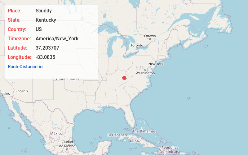
Full AddressScuddy, KY 41760
-
Coordinates37.2037071, -83.0835004
-
LocationScuddy , Kentucky , US
-
TimezoneAmerica/New_York
-
Current Local Time8:05:04 AM America/New_YorkWednesday, June 18, 2025
-
Page Views0
About Scuddy
Scuddy is an unincorporated community and coal town in Perry County, Kentucky, United States. Their Post Office closed in 2004.
Nearby Places
Found 10 places within 50 miles

Vicco
1.5 mi
2.4 km
Vicco, KY
Get directions
Sassafras
1.9 mi
3.1 km
Sassafras, KY 41759
Get directions

Jeff
2.9 mi
4.7 km
Jeff, KY
Get directions
Diablock
5.2 mi
8.4 km
Diablock, KY 41701
Get directions
Carcassonne
5.4 mi
8.7 km
Carcassonne, KY 41804
Get directions
Ulvah
5.5 mi
8.9 km
Ulvah, KY 41731
Get directions
Daisy
6.3 mi
10.1 km
Daisy, KY 41731
Get directions

Hazard
6.8 mi
10.9 km
Hazard, KY
Get directions
Blackey
7.2 mi
11.6 km
Blackey, KY 41804
Get directions
Redfox
7.7 mi
12.4 km
Redfox, KY 41847
Get directions
Location Links
Local Weather
Weather Information
Coming soon!
Location Map
Static map view of Scuddy, Kentucky
Browse Places by Distance
Places within specific distances from Scuddy
Short Distances
Long Distances
Click any distance to see all places within that range from Scuddy. Distances shown in miles (1 mile ≈ 1.61 kilometers).