Distance to Sebille Manor, Michigan

Calculating Your Route
Just a moment while we process your request...
Location Information
-
Full AddressSebille Manor, Chesterfield Township, MI 48047
-
Coordinates42.6611439, -82.8121417
-
LocationChesterfield Township , Michigan , US
-
TimezoneAmerica/Detroit
-
Current Local Time11:35:15 PM America/DetroitWednesday, June 18, 2025
-
Page Views0
Nearby Places
Found 10 places within 50 miles

New Baltimore
4.1 mi
6.6 km
New Baltimore, MI 48047
Get directions

New Haven
4.8 mi
7.7 km
New Haven, MI 48048
Get directions

Mt Clemens
5.5 mi
8.9 km
Mt Clemens, MI
Get directions

Richmond
10.6 mi
17.1 km
Richmond, MI
Get directions

Fraser
10.9 mi
17.5 km
Fraser, MI 48026
Get directions

Miller
11.0 mi
17.7 km
Miller, Clay Township, MI 48028
Get directions

Pearl Beach
11.1 mi
17.9 km
Pearl Beach, MI 48001
Get directions

Utica
11.5 mi
18.5 km
Utica, MI
Get directions

St Clair Shores
12.1 mi
19.5 km
St Clair Shores, MI
Get directions

Sterling Heights
12.4 mi
20.0 km
Sterling Heights, MI
Get directions
Location Links
Local Weather
Weather Information
Coming soon!
Location Map
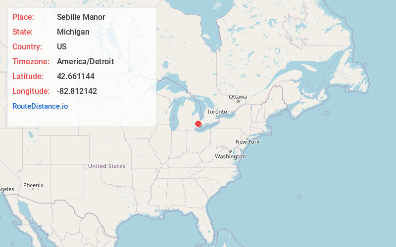
Static map view of Sebille Manor, Michigan
Browse Places by Distance
Places within specific distances from Sebille Manor
Short Distances
Long Distances
Click any distance to see all places within that range from Sebille Manor. Distances shown in miles (1 mile ≈ 1.61 kilometers).