Distance to Sedgewickville, Missouri

Calculating Your Route
Just a moment while we process your request...
Location Information
-
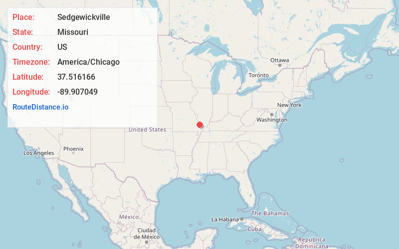
Full AddressSedgewickville, MO 63743
-
Coordinates37.5161657, -89.9070486
-
LocationSedgewickville , Missouri , US
-
TimezoneAmerica/Chicago
-
Current Local Time4:54:01 AM America/ChicagoSunday, June 22, 2025
-
Page Views0
About Sedgewickville
Sedgewickville is a village in northern Bollinger County in Southeast Missouri, United States. The population was 191 at the 2020 census.
Sedgewickville is part of the Cape Girardeau–Jackson, MO-IL Metropolitan Statistical Area.
Nearby Places
Found 10 places within 50 miles

Millersville
8.2 mi
13.2 km
Millersville, MO
Get directions

Oak Ridge
9.8 mi
15.8 km
Oak Ridge, MO
Get directions
Shawneetown
14.2 mi
22.9 km
Shawneetown, MO 63755
Get directions

Perryville
14.6 mi
23.5 km
Perryville, MO 63775
Get directions

Marble Hill
14.9 mi
24.0 km
Marble Hill, MO 63764
Get directions

Jackson
16.1 mi
25.9 km
Jackson, MO 63755
Get directions
Frohna
17.8 mi
28.6 km
Frohna, MO 63748
Get directions
Gordonville
18.9 mi
30.4 km
Gordonville, MO
Get directions

Altenburg
19.3 mi
31.1 km
Altenburg, MO
Get directions
Cobalt
20.9 mi
33.6 km
Cobalt, MO 63645
Get directions
Location Links
Local Weather
Weather Information
Coming soon!
Location Map
Static map view of Sedgewickville, Missouri
Browse Places by Distance
Places within specific distances from Sedgewickville
Short Distances
Long Distances
Click any distance to see all places within that range from Sedgewickville. Distances shown in miles (1 mile ≈ 1.61 kilometers).