Distance to Selmore, Missouri

Calculating Your Route
Just a moment while we process your request...
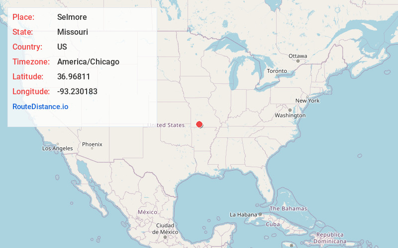
Location Information
-
Full AddressSelmore, East Finley Township, MO 65721
-
Coordinates36.9681102, -93.2301832
-
LocationEast Finley Township , Missouri , US
-
TimezoneAmerica/Chicago
-
Current Local Time3:34:33 PM America/ChicagoFriday, May 23, 2025
-
Page Views0
About Selmore
Selmore is an unincorporated community in Christian County, in the U.S. state of Missouri.
Nearby Places
Found 10 places within 50 miles

Highlandville
3.7 mi
6.0 km
Highlandville, MO
Get directions

Riverdale
3.8 mi
6.1 km
Riverdale, Garden Grove Township, MO 65714
Get directions

Ozark
3.9 mi
6.3 km
Ozark, MO
Get directions
Shady Grove
5.2 mi
8.4 km
Shady Grove, MO 65753
Get directions
Green Mound Ridge
5.4 mi
8.7 km
Green Mound Ridge, South Galloway Township, MO 65669
Get directions

Nixa
6.3 mi
10.1 km
Nixa, MO 65714
Get directions
Fremont Hills
6.8 mi
10.9 km
Fremont Hills, MO 65714
Get directions
Cassidy Township
7.2 mi
11.6 km
Cassidy Township, MO
Get directions

Linden
7.6 mi
12.2 km
Linden, MO 65742
Get directions
Jamesville
7.8 mi
12.6 km
Jamesville, Cass Township, MO 65631
Get directions
Location Links
Local Weather
Weather Information
Coming soon!
Location Map
Static map view of Selmore, Missouri
Browse Places by Distance
Places within specific distances from Selmore
Short Distances
Long Distances
Click any distance to see all places within that range from Selmore. Distances shown in miles (1 mile ≈ 1.61 kilometers).