Distance to Semora, North Carolina

Calculating Your Route
Just a moment while we process your request...
Location Information
-
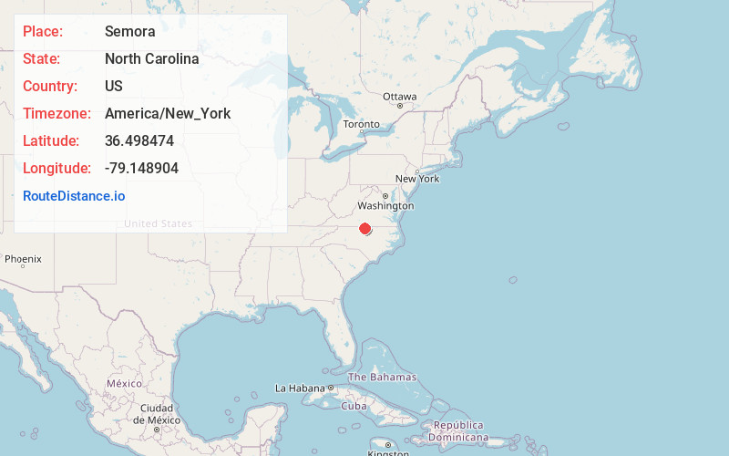
Full AddressSemora, NC 27343
-
Coordinates36.4984737, -79.148904
-
LocationSemora , North Carolina , US
-
TimezoneAmerica/New_York
-
Current Local Time8:38:35 PM America/New_YorkThursday, May 29, 2025
-
Page Views0
About Semora
Semora is an unincorporated community in Caswell County, North Carolina, United States. It lies just northwest of Hyco Lake and has some presence in Person County. Semora is home to one of the oldest churches in North Carolina, the Red House Presbyterian Church.
Nearby Places
Found 10 places within 50 miles

Osmond
3.6 mi
5.8 km
Osmond, NC 27291
Get directions

Milton
4.3 mi
6.9 km
Milton, NC 27305
Get directions
Cunningham
4.8 mi
7.7 km
Cunningham, NC 27343
Get directions
Estelle
5.1 mi
8.2 km
Estelle, NC 27305
Get directions
Delila
6.0 mi
9.7 km
Delila, VA 24520
Get directions
McGehees Mill
6.8 mi
10.9 km
McGehees Mill, NC 27343
Get directions
Longs Store
7.0 mi
11.3 km
Longs Store, NC 27574
Get directions
Leasburg
7.2 mi
11.6 km
Leasburg, NC 27291
Get directions
Olive Hill
7.5 mi
12.1 km
Olive Hill, NC 27574
Get directions
Hamer
7.6 mi
12.2 km
Hamer, NC 27212
Get directions
Location Links
Local Weather
Weather Information
Coming soon!
Location Map
Static map view of Semora, North Carolina
Browse Places by Distance
Places within specific distances from Semora
Short Distances
Long Distances
Click any distance to see all places within that range from Semora. Distances shown in miles (1 mile ≈ 1.61 kilometers).