Distance to Olive Hill, North Carolina

Calculating Your Route
Just a moment while we process your request...
Location Information
-
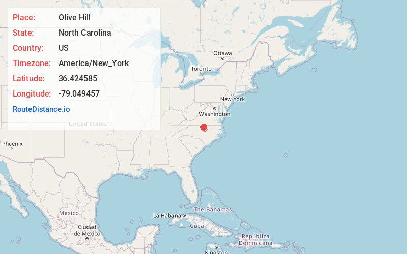
Full AddressOlive Hill, NC 27574
-
Coordinates36.4245848, -79.0494566
-
LocationOlive Hill , North Carolina , US
-
TimezoneAmerica/New_York
-
Current Local Time1:17:52 PM America/New_YorkTuesday, June 17, 2025
-
Page Views0
Nearby Places
Found 10 places within 50 miles

Roxboro
4.3 mi
6.9 km
Roxboro, NC
Get directions

Whitt Town
4.4 mi
7.1 km
Whitt Town, NC 27574
Get directions
Leasburg
6.2 mi
10.0 km
Leasburg, NC 27291
Get directions

Milton
11.9 mi
19.2 km
Milton, NC 27305
Get directions
Topnot
12.2 mi
19.6 km
Topnot, NC 27379
Get directions
Mt Tirzah
12.7 mi
20.4 km
Mt Tirzah, NC 27572
Get directions
Cluster Springs
15.3 mi
24.6 km
Cluster Springs, VA
Get directions

Rougemont
15.8 mi
25.4 km
Rougemont, NC
Get directions

Yanceyville
16.0 mi
25.7 km
Yanceyville, NC
Get directions

Virgilina
17.3 mi
27.8 km
Virgilina, VA 24598
Get directions
Location Links
Local Weather
Weather Information
Coming soon!
Location Map
Static map view of Olive Hill, North Carolina
Browse Places by Distance
Places within specific distances from Olive Hill
Short Distances
Long Distances
Click any distance to see all places within that range from Olive Hill. Distances shown in miles (1 mile ≈ 1.61 kilometers).