Distance to Seneca, Wisconsin

Calculating Your Route
Just a moment while we process your request...
Location Information
-
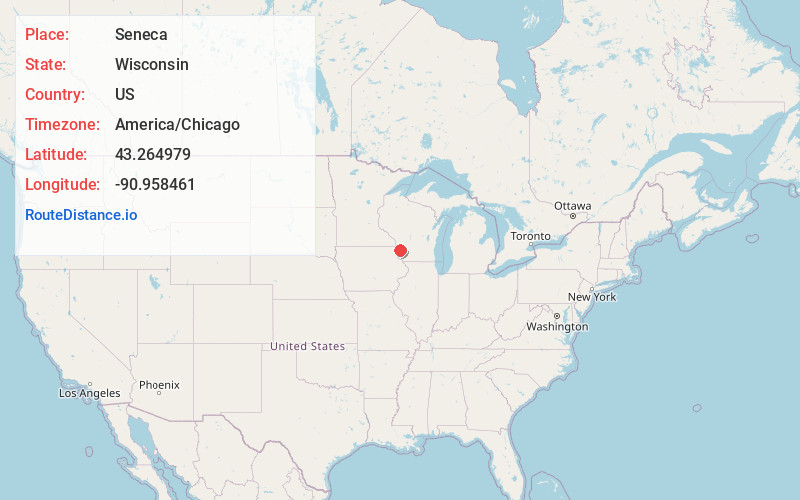
Full AddressSeneca, WI
-
Coordinates43.2649792, -90.9584606
-
LocationSeneca , Wisconsin , US
-
TimezoneAmerica/Chicago
-
Current Local Time1:50:59 AM America/ChicagoWednesday, June 18, 2025
-
Page Views0
About Seneca
Seneca is an unincorporated community in the town of Seneca, Crawford County, Wisconsin, United States. Seneca is on Wisconsin Highway 27 4 miles south-southwest of Mount Sterling. Seneca has a post office with ZIP code 54654. Seneca Area School District and Seneca High School is located in the community.
Nearby Places
Found 10 places within 50 miles

Gays Mills
6.8 mi
10.9 km
Gays Mills, WI 54631
Get directions

Eastman
7.4 mi
11.9 km
Eastman, WI
Get directions

Soldiers Grove
12.9 mi
20.8 km
Soldiers Grove, WI 54655
Get directions

Wauzeka
13.0 mi
20.9 km
Wauzeka, WI 53826
Get directions

Lansing
14.7 mi
23.7 km
Lansing, IA 52151
Get directions

Boscobel
15.6 mi
25.1 km
Boscobel, WI 53805
Get directions

Readstown
16.2 mi
26.1 km
Readstown, WI 54652
Get directions

De Soto
16.3 mi
26.2 km
De Soto, WI 54624
Get directions

Prairie du Chien
17.4 mi
28.0 km
Prairie du Chien, WI 53821
Get directions

Marquette
18.8 mi
30.3 km
Marquette, IA 52157
Get directions
Location Links
Local Weather
Weather Information
Coming soon!
Location Map
Static map view of Seneca, Wisconsin
Browse Places by Distance
Places within specific distances from Seneca
Short Distances
Long Distances
Click any distance to see all places within that range from Seneca. Distances shown in miles (1 mile ≈ 1.61 kilometers).