Distance to Seneca Creek State Park, Maryland

Calculating Your Route
Just a moment while we process your request...
Location Information
-
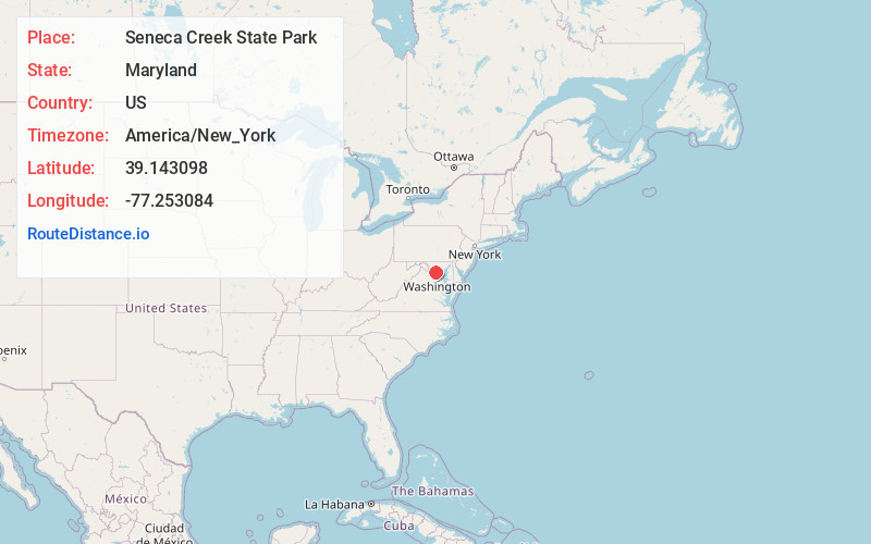
Full AddressSeneca Creek State Park, 11950 Clopper Rd, Gaithersburg, MD 20878
-
Coordinates39.143098, -77.2530837
-
Street11950 Clopper Rd
-
LocationGaithersburg , Maryland , US
-
TimezoneAmerica/New_York
-
Current Local Time3:50:10 AM America/New_YorkWednesday, June 18, 2025
-
Page Views0
About Seneca Creek State Park
This 6,300 acre park of forest & farmlands offers hunting, fresh water fishing & hiking trails.


Nearby Places
Found 10 places within 50 miles

Clopper
0.7 mi
1.1 km
Clopper, MD 20878
Get directions
Old Germantown
2.0 mi
3.2 km
Old Germantown, Germantown, MD 20874
Get directions
Brownstown
2.2 mi
3.5 km
Brownstown, MD 20874
Get directions

Seneca Park
2.2 mi
3.5 km
Seneca Park, Germantown, MD 20879
Get directions

Germantown
2.3 mi
3.7 km
Germantown, MD
Get directions
Middlebrook
2.5 mi
4.0 km
Middlebrook, Germantown, MD 20876
Get directions

Gaithersburg
2.8 mi
4.5 km
Gaithersburg, MD
Get directions

North Potomac
3.3 mi
5.3 km
North Potomac, MD
Get directions

Montgomery Village
3.3 mi
5.3 km
Montgomery Village, MD
Get directions

Darnestown
3.4 mi
5.5 km
Darnestown, MD
Get directions
Location Links
Local Weather
Weather Information
Coming soon!
Location Map
Static map view of Seneca Creek State Park, Maryland
Browse Places by Distance
Places within specific distances from Seneca Creek State Park
Short Distances
Long Distances
Click any distance to see all places within that range from Seneca Creek State Park. Distances shown in miles (1 mile ≈ 1.61 kilometers).